Niigata 新潟県
Niigata 新潟県
Niigata 新潟県
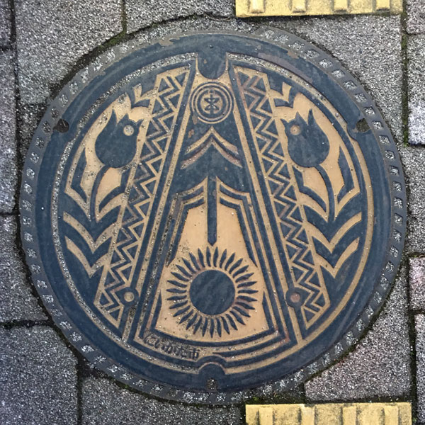
Sunflower and Tulips.
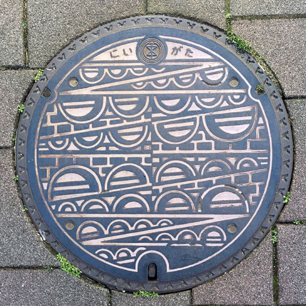
The motif is the six-arched Bandai Bridge spanning the Shinano River. It's the same color as the manhole cover on the card. The city emblem and the word "Niigata" are printed at the top.
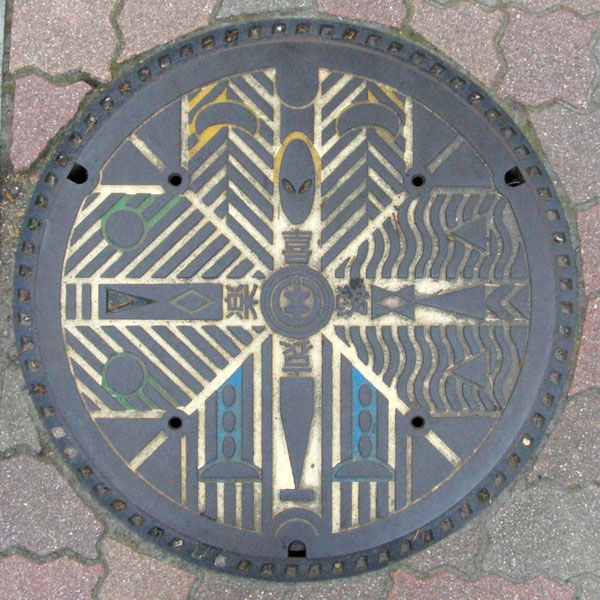
The eyes of each of the four emotions are different, with "Joy" represented by smiling eyes, "Anger" by triangular eyes, "Sadness" by tearful eyes, and "Happiness" by wide-open, round eyes.
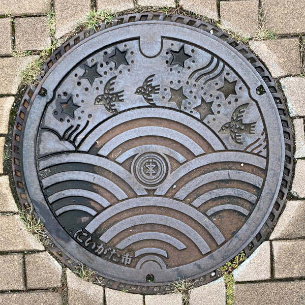
The design corresponds to the "rough sea," "sparrow," and "star" that appear in the lyrics of "Sunayama," written by Kitahara Hakushu and composed by Nakayama Shinpei.
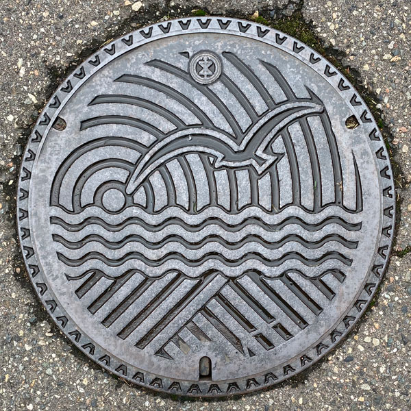
The sun, the sea, the river, and seagulls
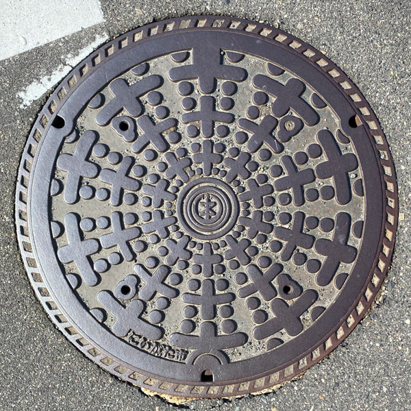
The way the characters for "rice" are arranged.
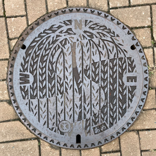
It has a willow pattern. The four directions of east, west, and north are also written on it.
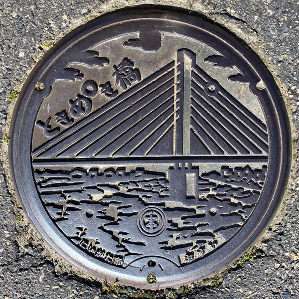
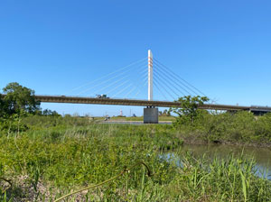
It depicts the Tokimeki Bridge, a bridge on the Hokuriku Expressway that crosses the Shinano River. The design is for Kurosaki Town, but the letters at the bottom read "Niigata City," and includes the Niigata City emblem.
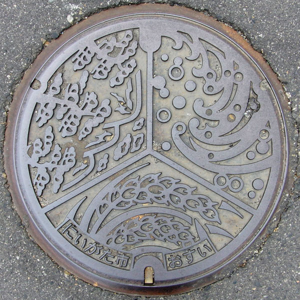
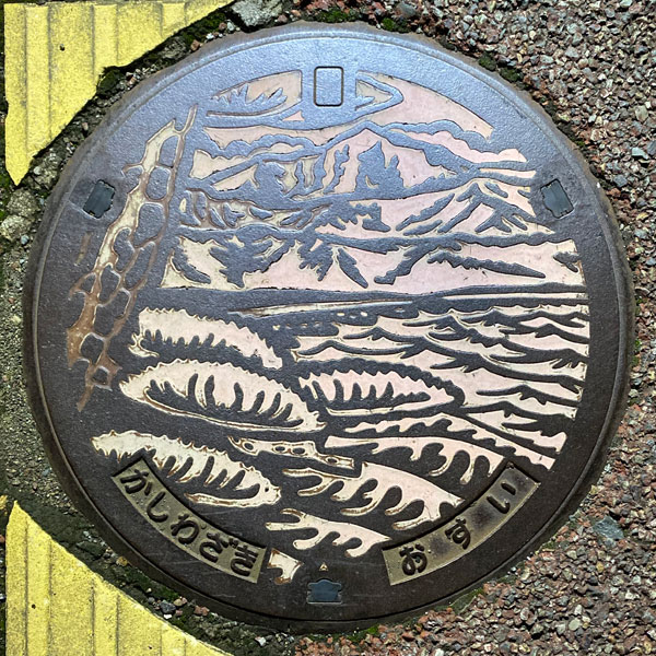
The lid after the merger has the same design, depicting rice ears, Mount Yahiko, and the Sea of Japan, but the name of the municipality at the bottom has changed from "Iwamuro Village" to "Niigata City," and the character "Osui" has been added.
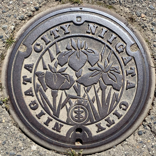
The lid, which features three irises, the village flower, from the former Aikata village, has the letters around it changed to "NIIGATA CITY" and the Niigata city emblem added, making it the lid after the merger and incorporation.
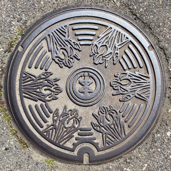
Six Japanese irises, the flower of the former Aikata village, are depicted facing inward, with the Niigata City emblem in the center.
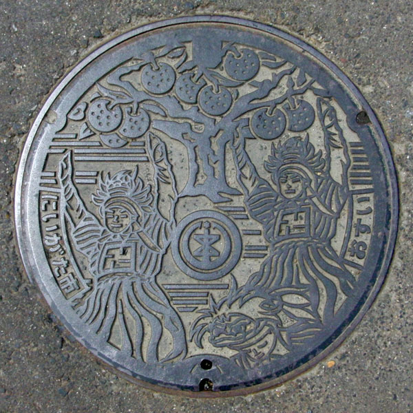
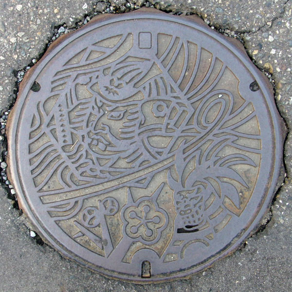
The design depicts the former Tsukigata Village, featuring the Kakubei Lion (Echigo Lion) and a 200-year-old "Ruisan Pear" tree, a nationally designated natural monument. The Tsukigata Village emblem has been changed to the city emblem, and the word "Tsukigata" has been changed to "Niigata City."
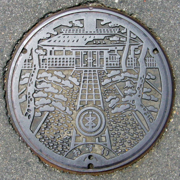
The picture depicts the "Sawa Shogen Mansion," a building once home to the wealth and prestige of the Sawa family, a large village headman in Echigo. It was restored in 1994. The lid, likely from after the village's incorporation, features the Niigata City emblem in place of the Nakanokuchi Village emblem.
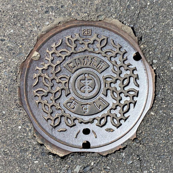
Small sewage panel.
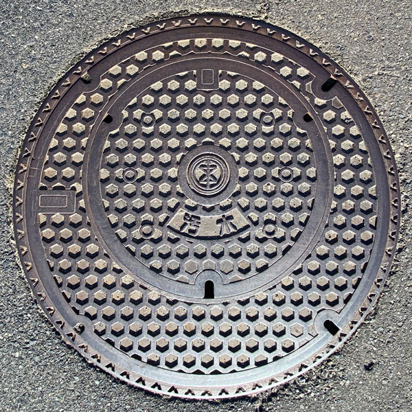
A pair of lids containing a child lid with a tortoiseshell pattern and the word "sewage" written on it. The parent lid also has a tortoiseshell pattern.
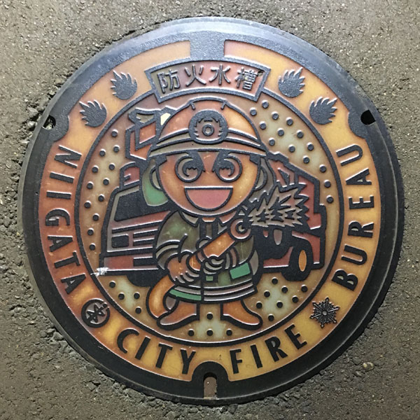
The lid of a fire water tank at the Niigata City Fire Department. The words "Fire Water Tank" are written on top and "NIIGATA CITY FIRE BUREAU" on the bottom.
Kurosaki 黒崎町
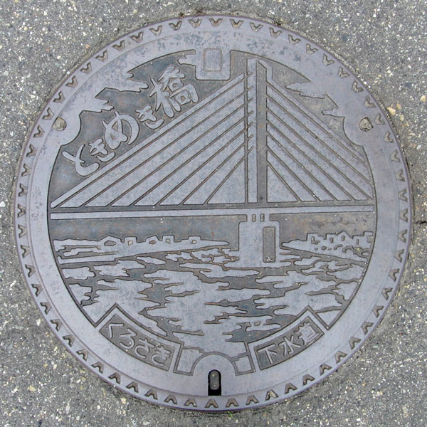
This illustration depicts the "Tokimeki Bridge," a bridge on the Hokuriku Expressway crossing the Shinano River. The words "Tokimeki Bridge" are written in the upper left, and "Kurosaki" and "Sewerage" are written at the bottom.
Niitsu 新津市
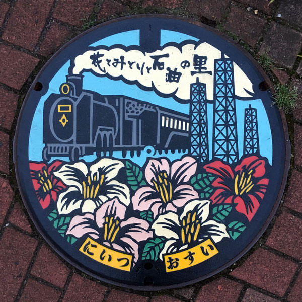
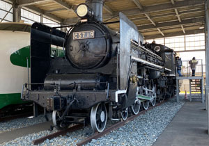
This color board features a design of the former Niitsu City, featuring a steam locomotive, fitting for a railway town, an oil well tower, fitting for an oil field town, and the city's flower, the azalea, on a manhole cover.
Shirone 白根市
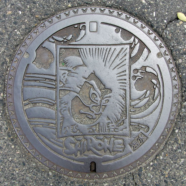
The design is of a large Shirane kite. The word "SHIRONE" is written underneath the kite, and to the right of that is the word "sewage."
Toyosaka 豊栄市
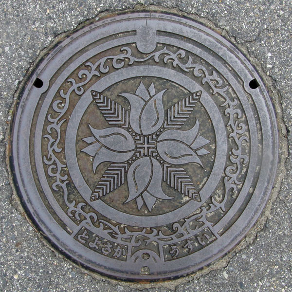
The flower depicted is a tulip. At first I thought it was the flower of the old city, but it is actually a water lily, so it seems to be a depiction of a local specialty.
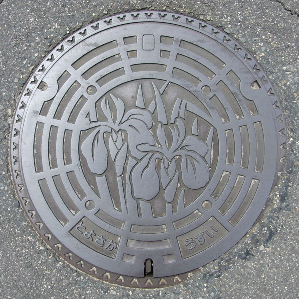
The flower depicted here appears to be an iris.
Kosudo 小須戸町
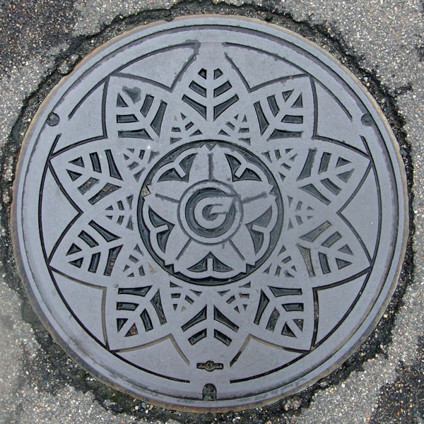
The flowers surrounding the town emblem in the center are likely a representation of the town's flower, the azalea.
Yokogoshi 横越町
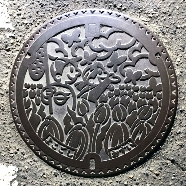
The image depicts children playing with tulips, the flower of the former Yokogoshi Town, and chasing butterflies. The boy's chest bears the town emblem.
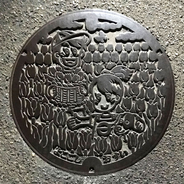
A scene of a tulip field, the flower of the former Yokogoshi Town. The painting depicts a boy holding a basket of tulips and a girl with the town emblem on her chest and a dog.
Kameda 亀田町
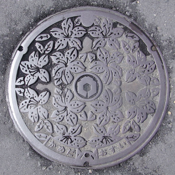
A lid featuring the azalea, the flower of the former Kameda Town.
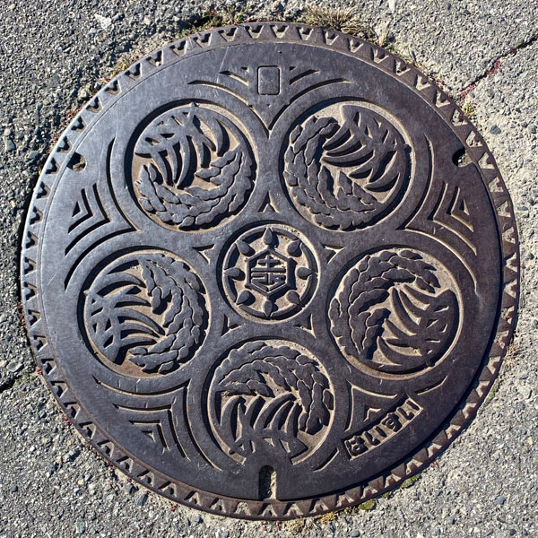
This drainage cover is for the Kameda Land Improvement District, which is responsible for land improvement projects in Niigata City (the former Niigata City, the former Kameda Town, and the former Yokogoshi Town). It drains water used in rice paddies to the drainage pumping station.
Iwamuro 岩室村
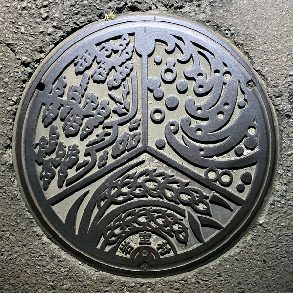
Known for Iwamuro Onsen. Depicts rice ears, Mt. Yahiko, and the Sea of Japan.
Nishikawa 西川町
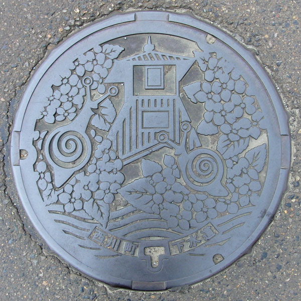
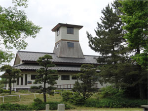
The image depicts a dairo house, a snail, and the town's flower, the hydrangea. "Dairo" means snail. The dairo house refers to the Sone Magistrate's Office, which existed for 250 years from 1620 (Genwa 6) until the fall of the Nagaoka Domain in 1868 (Keio 4). While only the ruins remain, the building itself has been restored in Nishikawa Fureai Park.
Ajikata 味方村
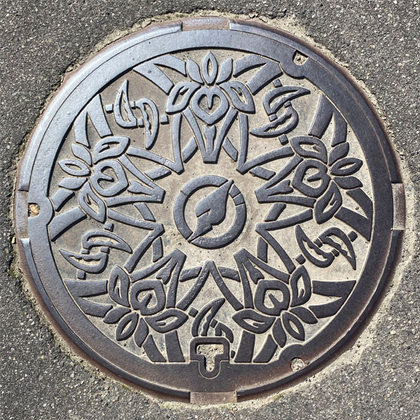
The lid is decorated with five flowers of the village flower, the iris, facing outwards. The village emblem is in the center. Is that a sickle between the irises?
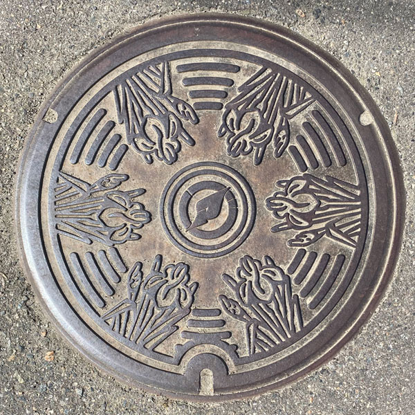
The lid features six flowers of the village flower, the Japanese iris, facing inward, with the village emblem in the center.
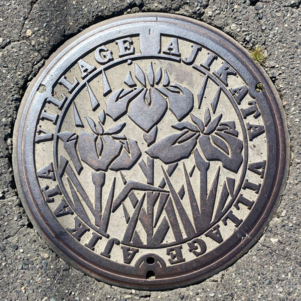
The lid features three irises, the village flower, surrounded by the words "AJIKATA VILLAGE."
Tsukigata 月潟村
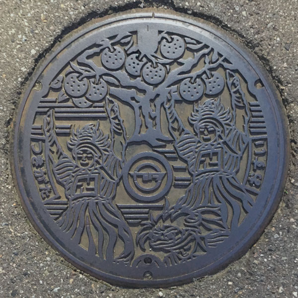
The painting depicts the Kakubeijishi lion, as this is the hometown of the Echigo lion, as well as the only 200-year-old "Ruisan Nashi" pear tree, a nationally designated natural monument.
Nakanokuchi 中之口村
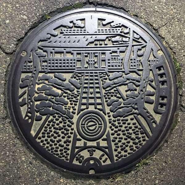
The cover depicts the "Sawa Shogen no Yakata," a mansion that boasted the wealth and fame of the Sawa family, a large village headman of Echigo. It was restored in 1994. The village emblem is at the bottom.
Maki 巻町
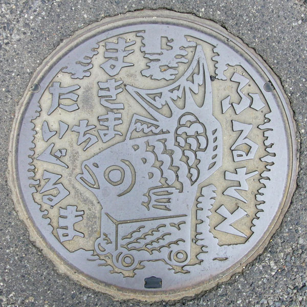
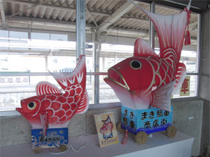
The words "Hometown," "Makimachi," and "Taiguruma" (Furusato, Hometown) are written around the traditional Niigata toy "Tai-guruma" (Sea Bream Cart).
Sado 佐渡市
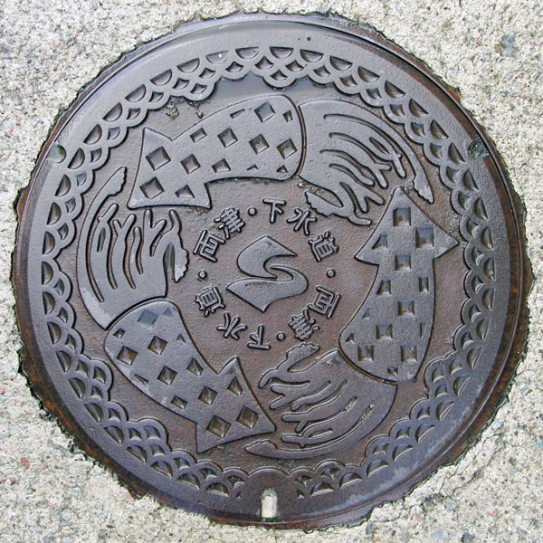
The local specialty is squid. The design is the same as that of the old Ryotsu City, but the center is the city emblem of Sado City.
Ryotsu 両津市
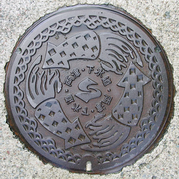
The design features a squid, a local specialty. In the center is the Ryotsu city emblem, surrounded by the words "Ryotsu City Sewerage."
Aikawa 相川町
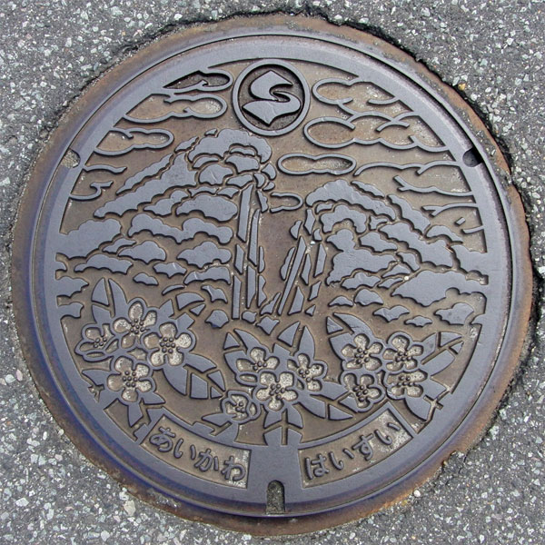
Aikawa developed as a town of gold and silver mines. In the background is the large ore vein of the Sado Gold Mine, "Doyu-no-Warito," which appears to have split open the mountain as the ore was being excavated. Below is the town tree, the "Maruba Sharinbai" (Rhaphiolepis rapae). It also features the new city emblem.
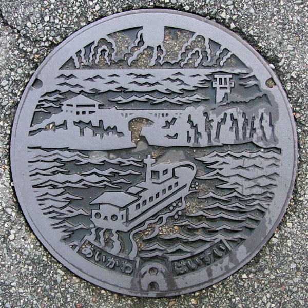
The picture depicts Ageshima Island in Senkaku Bay, the Yusen Bridge leading to it (admission to Senkaku Bay Ageshima Amusement Park is required to cross), and a sightseeing boat.
Sawata 佐和田町
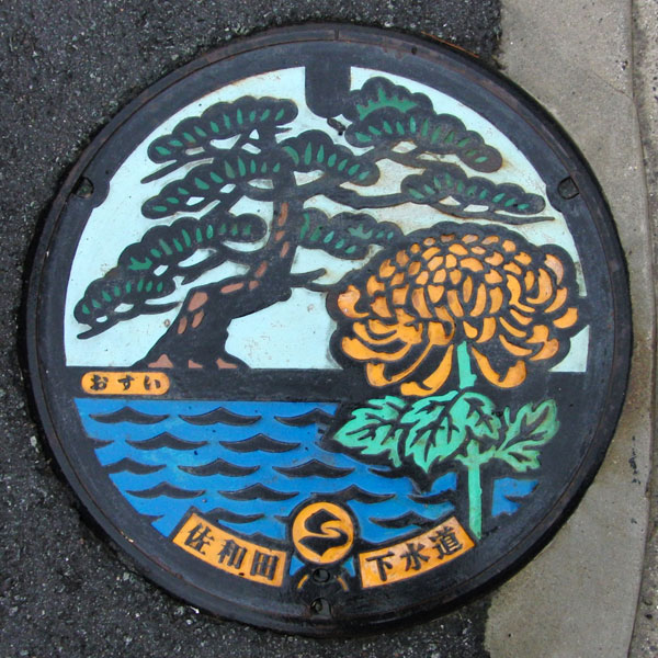
The former Sawada Town flower, the chrysanthemum, and the town tree, the pine, overlooking Mano Bay. The former Sawada Town was located on the eastern edge of the Kuninaka Plain and was a key transportation hub.
Kanai 金井町
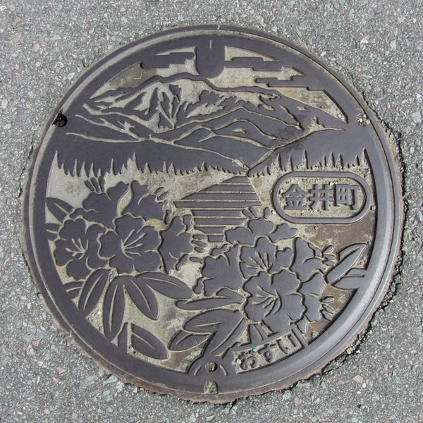
The cover depicts rhododendrons, the flower of the former Kanai town, with Mt. Kinpoku, Sado's highest peak (1,172.1m), in the background.
Niibo 新穂村 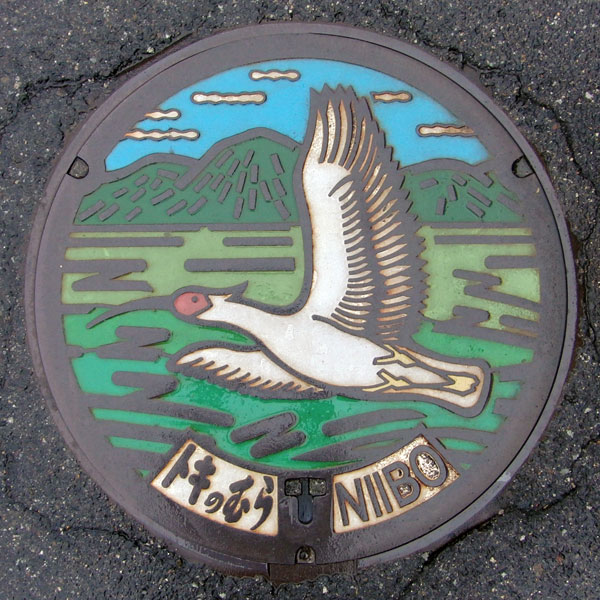
The design depicts a crested ibis flying over Sado.
Hatano 畑野町
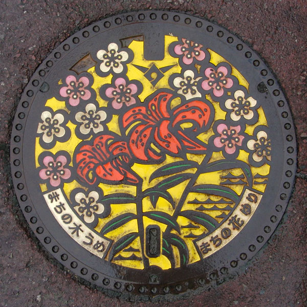
Former Hatano Town's flower is the lily and the town tree is the plum.
Mano 真野町
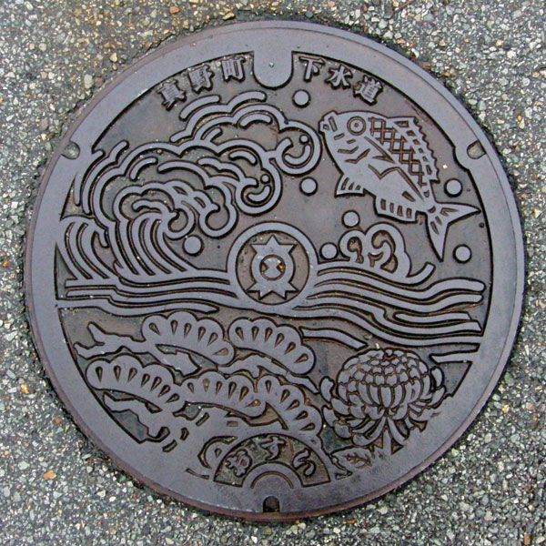
Former Mano Town's flower, the chrysanthemum, the town tree, the pine, the waves of Mano Bay and a sea bream. The town emblem is in the center.
Ogi 小木町
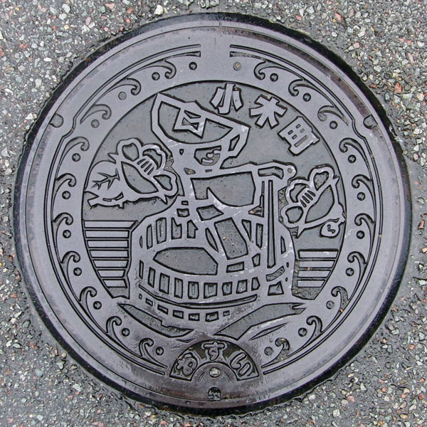
The camellia tree and tub boat of the former Ogi Town.
Akadomari 赤泊村
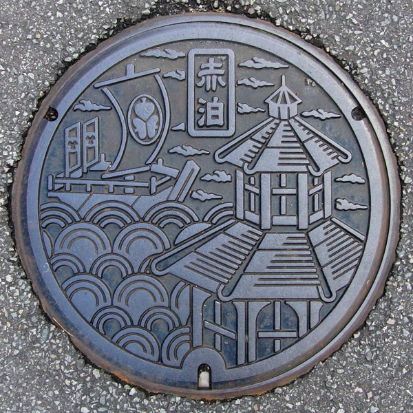
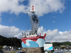
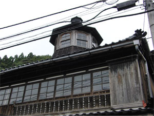
The "Old Tanabe Residence" with its octagonal watchtower and the "Ozabune" boat used by the Sado Magistrate to cross the sea docked at Akadomari Port.
Murakami 村上市
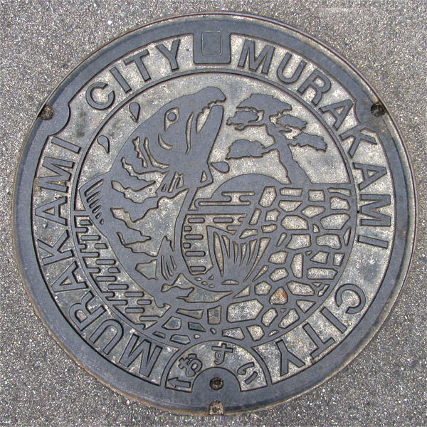
This manhole cover features salmon from the Miomote River, the ruins of Murakami Castle, the city's red pine tree, and a sunset over the Sea of Japan.
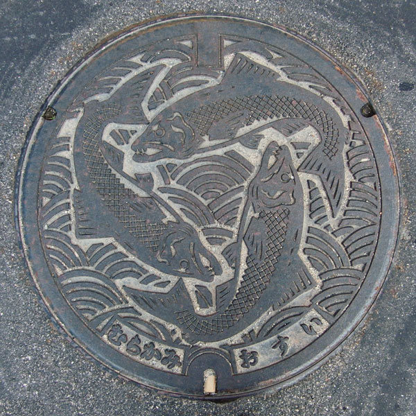
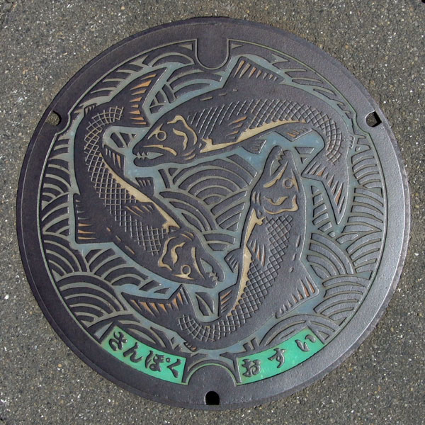
The "Murakami" version is a colorless board with a design depicting three salmon from Yamakita Town.
Arakawa 荒川町 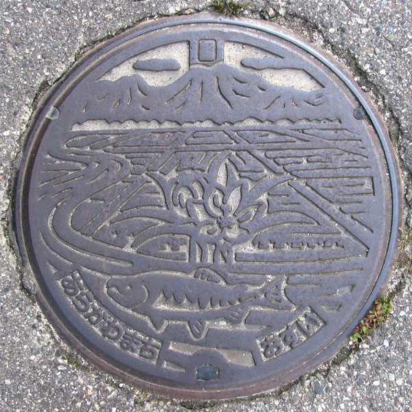
In the distance is Mount Takatsubo, 570.5 meters above sea level. Salmon swim in the Arakawa River. The flower in the center is not the town's flower, the camellia, but the crocus, which is apparently the most produced flower in Japan.
Kamihayashi 神林村
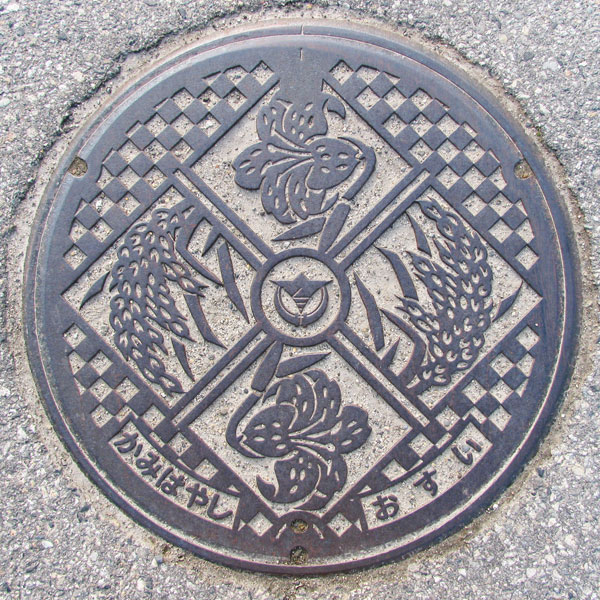
The flower is a lily, the village flower. The village tree is the pine, but here it depicts an ear of rice.
Asahi 朝日村
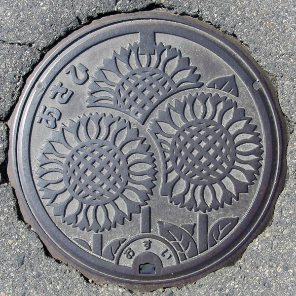
The design features the village flower, the sunflower.
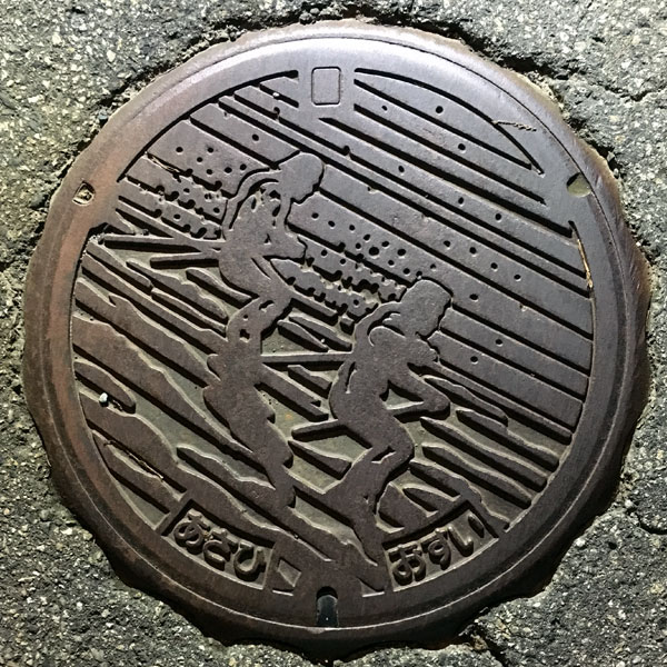
Two skiers are depicted on the drainage lid of the agricultural village in the Budou area.
Yamapoku 山北町
The design is of a salmon, with vivid scales.
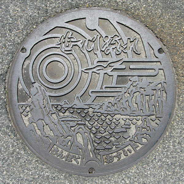
This design features the scenic spot "Sasagawa Nagare." To the right is "Meganeiwa Rock."
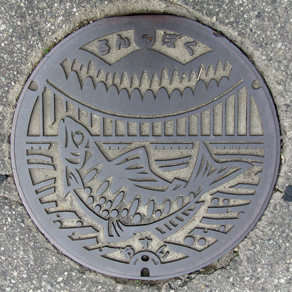
This is the cover of a public sewer system for specific environmental conservation in the Kurokawamata Treatment Area.
Tainai 胎内市
Nakajo 中条町
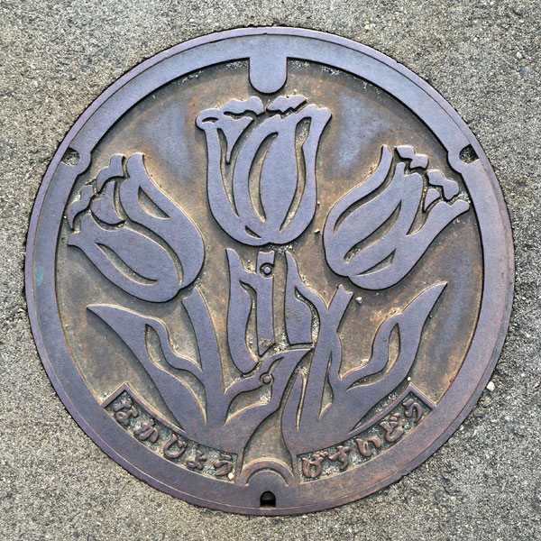
Boldly designed with the tulip, the town flower of the former Nakajo Town. The letters "Nakajo" and "Gesuido" are written at the bottom.
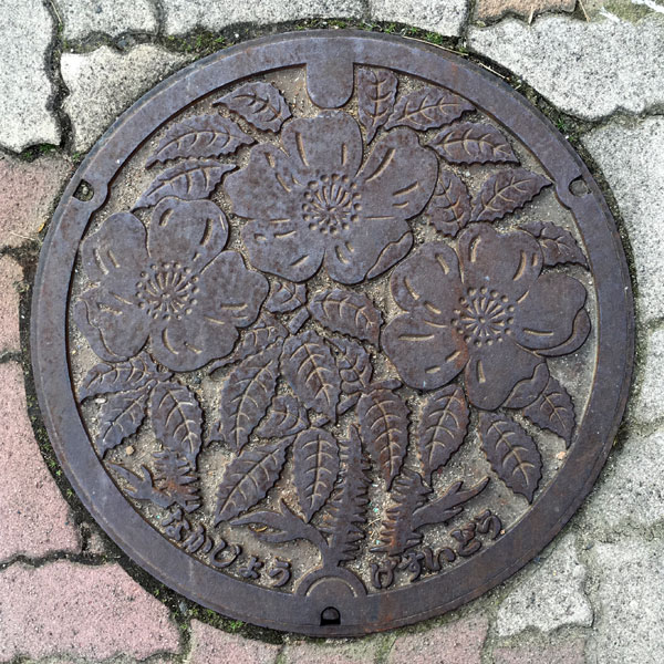
A depiction of a sea rugosa rose. The words "Nakajo" and "Gesuido" are written at the bottom.
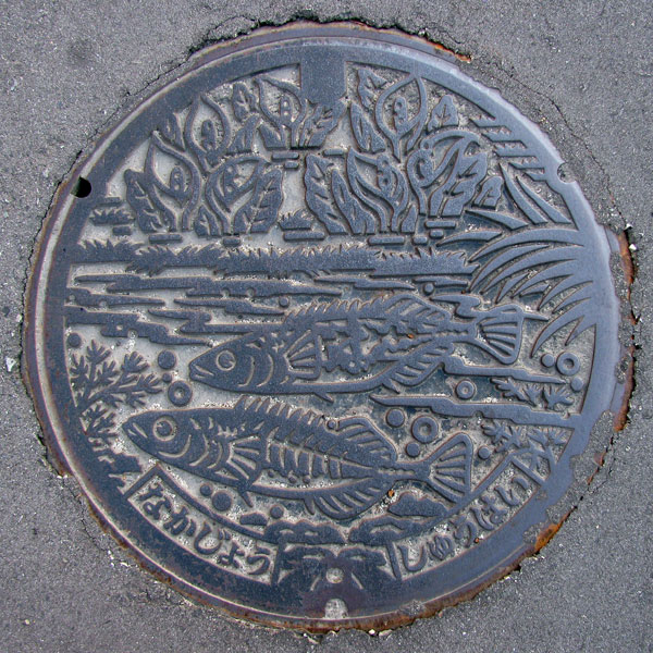
This is a drainage cover for the agricultural community in Kinoto District.
Kurokawa 黒川村
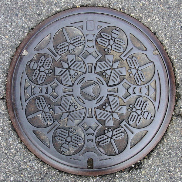
The cover of the agricultural collection and drainage facility in Tsuzumioka district features symbolic butterflies, dragonflies, and bees. The Kurokawa region also has agricultural collection and drainage facilities in the Kurokawa and Onagaya districts. They share the same design.
Shibata 新発田市
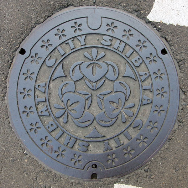
A manhole cover depicting the city's tree, the cherry blossom, and city flower, the iris.
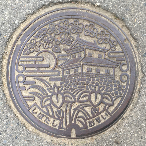
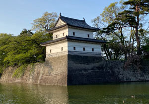
This sewage manhole cover depicts Shibata Castle
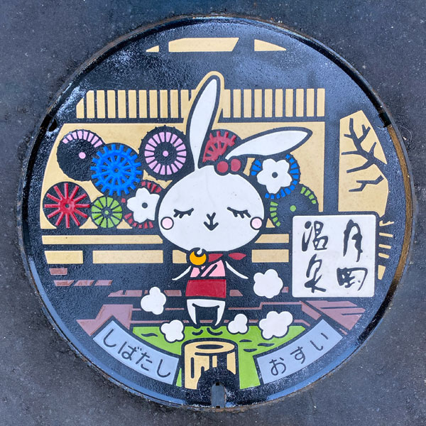
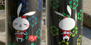
It features Tsukioka Onsen's mascot, "Yurara," soaking in a footbath.
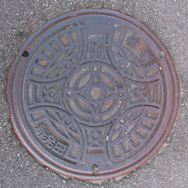
A lid for agricultural village drainage in Shimagata Treatment District.
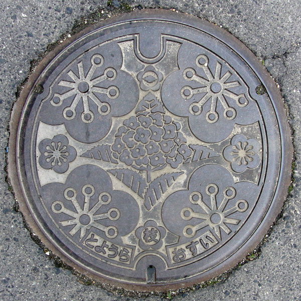
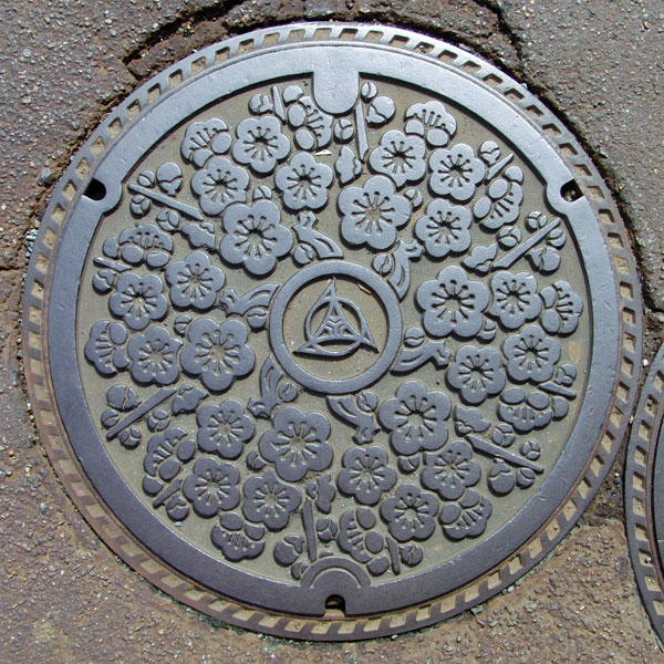
Toyoura Town's flower is the hydrangea, and the town's tree is the plum. If you look closely, you'll see that the Shibata City emblem is inside the small plum tree on top. This appears to be the lid from after the merger.
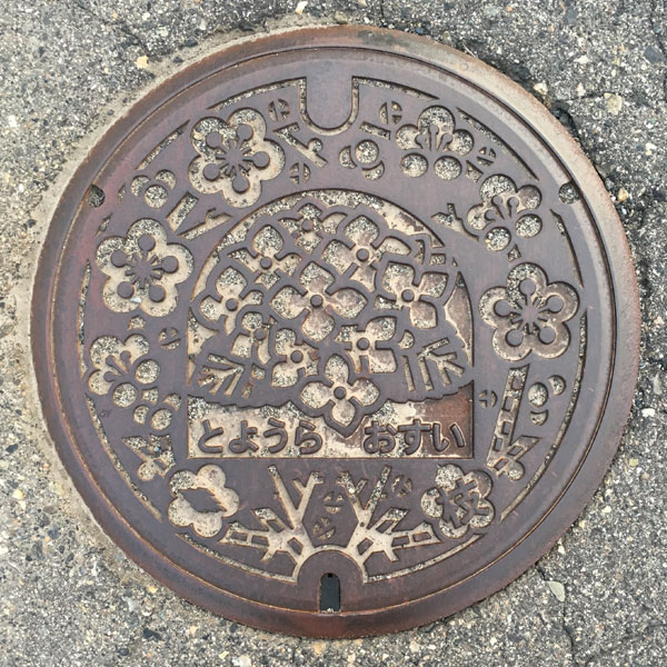
This is a different design from the former Toyoura town, but the Shibata city emblem is included inside the plum blossom in the lower left.
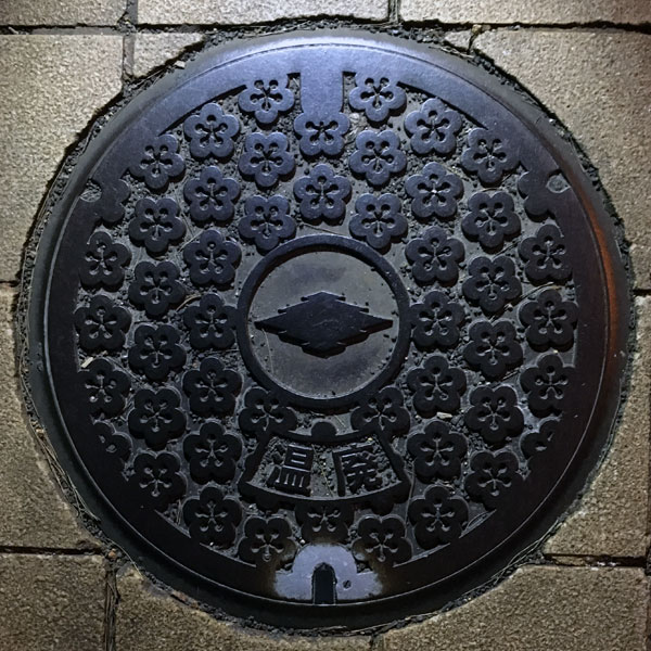
The design is of the former Toyoura town, with plum blossoms covering the entire surface, and the Shibata city emblem in the center. Beneath the city emblem is the word "Waste."
Toyoura 豊浦町
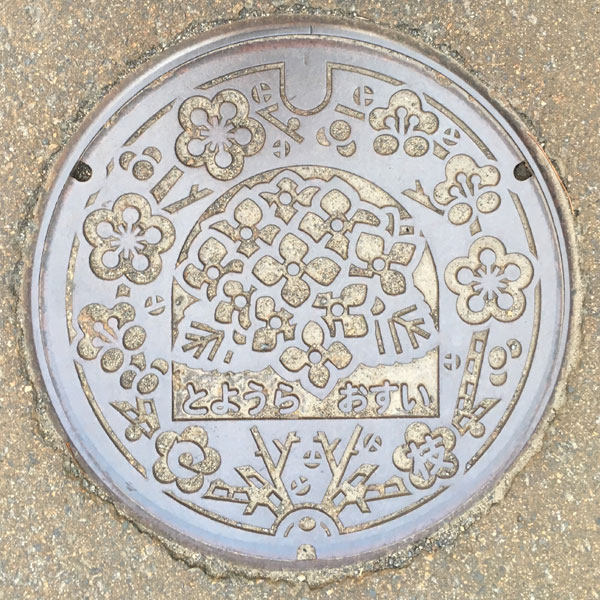
A sewage manhole cover with a picture of hydrangeas and plum blossoms. The characters "Toyoura" and "Osui" are written below the hydrangeas. The Toyoura town emblem is inside the plum blossom in the lower left.
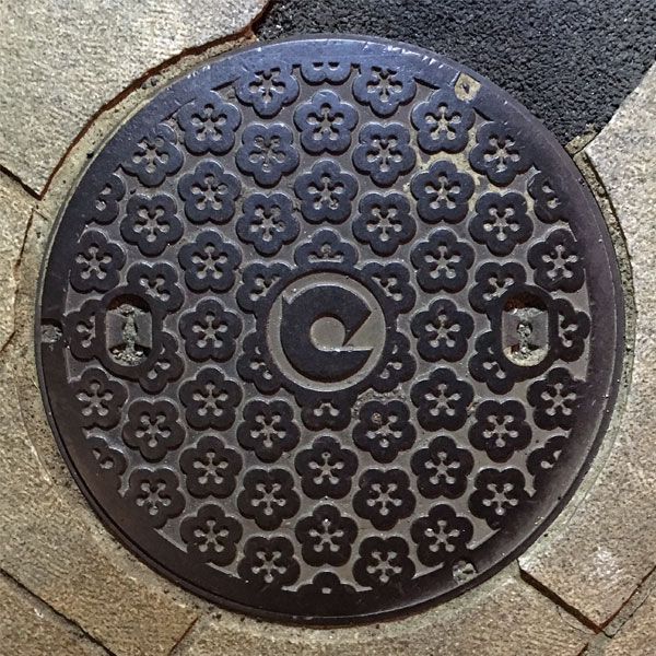
The lid is covered with plum blossoms and the Toyoura town emblem in the center.
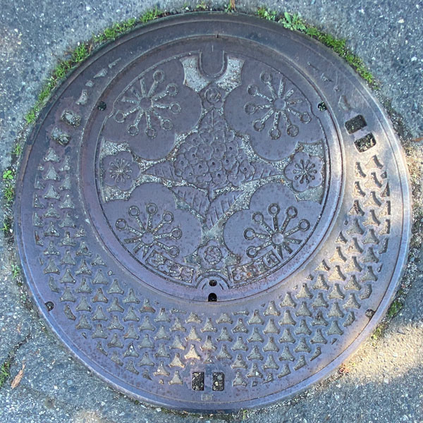
A parent-child lid containing a child lid with a different design of "hydrangea" and "plum."
Shiunji 紫雲寺町
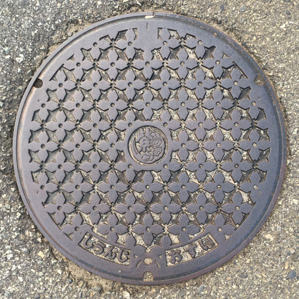
The sewage manhole cover is covered with the town's flower, forsythia. The town emblem, combining purple and clouds, is in the center.
Kajikawa 加治川村
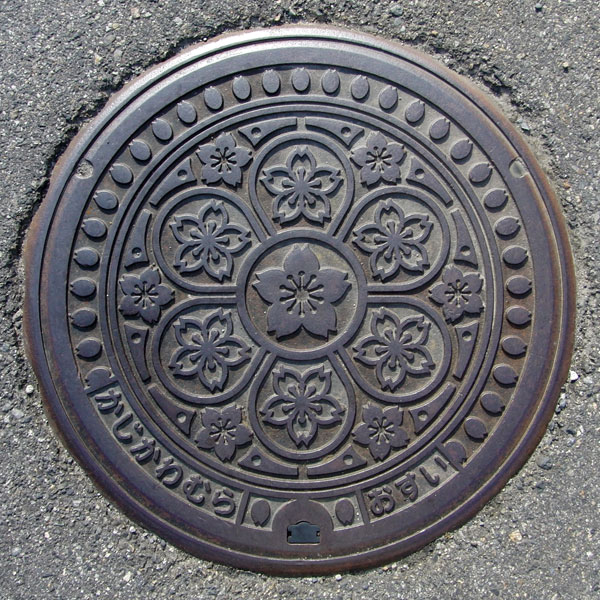
The town's tree is the cherry blossom, and its flowers are the primrose and the Shibazakura, so it's all about cherry blossoms.
Agano 阿賀野市
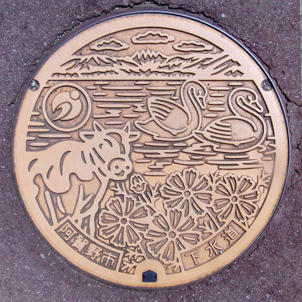
A manhole cover depicting Agano City's flower, the cosmos, its city bird, the swan, and a dairy cow. Agano City is home to Lake Hyoko (formerly Mizuhara Town), famous for its swans, and is also the birthplace of the well-known Yasuda Yogurt (formerly Yasuda Town).
Yasuda 安田町
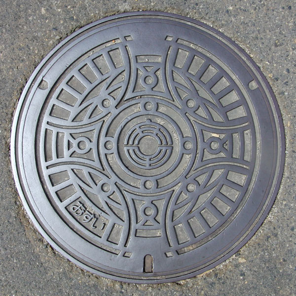
Similar designs are used in many places, giving it a semi-custom feel. The old town emblem, based on "Yasuda," is in the center.
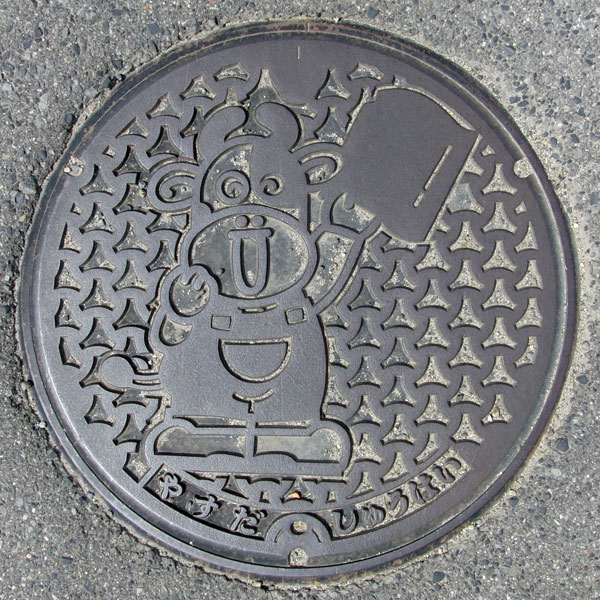
A drainage cover for an agricultural village in the Yamato region.
Yasuda Town, known for Yasuda Yogurt, is said to be the birthplace of dairy farming in Niigata Prefecture, and the design features a cow.
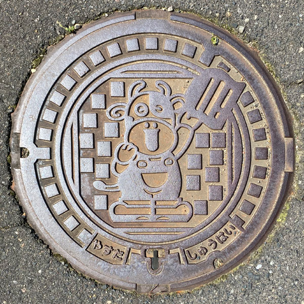
This is a drainage cover for an agricultural village in the Komatsu area.
The cow character is holding a "Yasuda tile," a tile with a history dating back to the Edo period. It's known for its insulating and cold-resistant properties.
Suibara 水原町
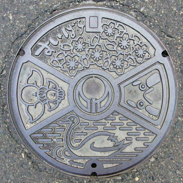
This manhole cover features the town's tree, the cherry blossom, the iris, the town's flower, and the town's bird, the swan. The face on the right is the face of a traditional triangular daruma doll.
Kyogase 京ヶ瀬村
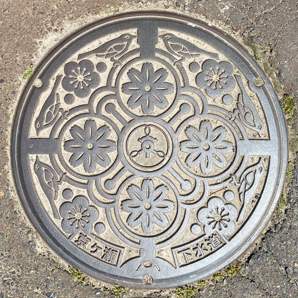
This manhole cover features the Kyogase Village emblem in the center, cosmos flowers around it, and plum blossoms and Japanese bush warblers on the periphery. The words "Kyogase" and "Sewerage" are written at the bottom.
Sasakami 笹神村
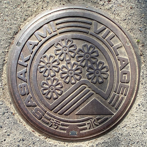
This sewage manhole cover features a design of Sasagami Village's flower, the cosmos, and the Gozu Mountain Range. The words "SASAKAMI," "VILLAGE," and "Sewage" are written around the cover.
Gosen 五泉市
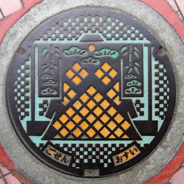
A colorful sewage manhole cover depicts a kimono hanging from a clothes rack. Gosen City has long been a silk weaving center.
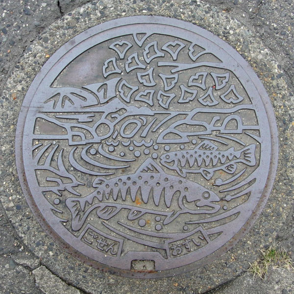
The lid depicts the city tree of the old Gosen city, the ginkgo (now called the cherry blossom in the new city), and a mountain stream char.
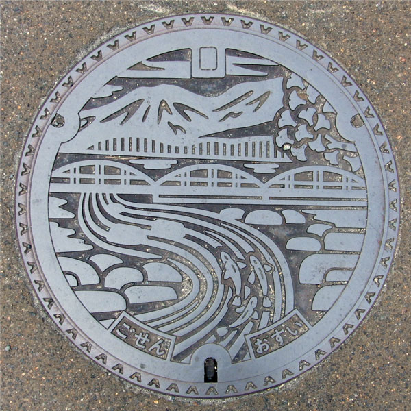
The painting depicts the Agano River flowing with Mount Suganadatake in the background and the Maoroshi Bridge on National Route 290.
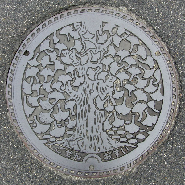
The city's tree, the ginkgo, is depicted.
Muramatsu 村松町
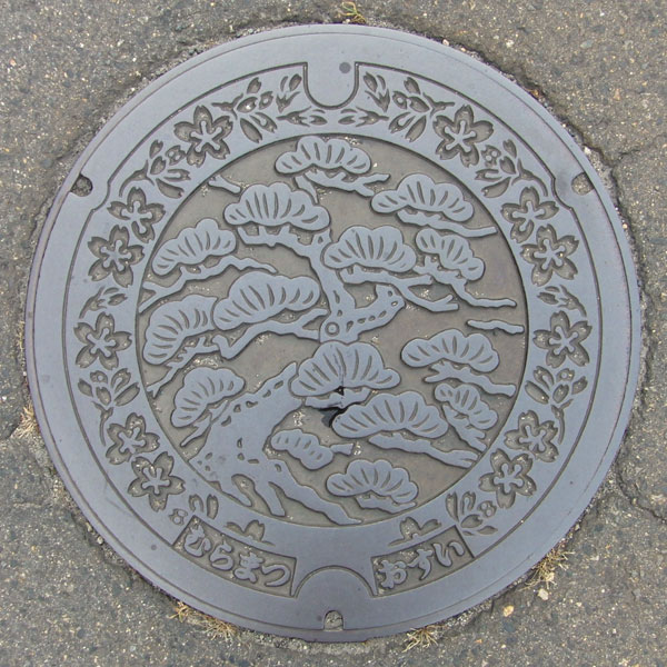
The town's tree is the red pine, and its flower is the cherry blossom.
Tsubame 燕市
Tsubame 燕市
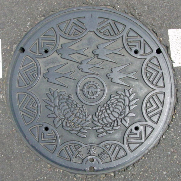
The manhole cover is coloured and features swallows, the city's flower, the chrysanthemum, and the city's tree, the pine.
Yoshida 吉田町
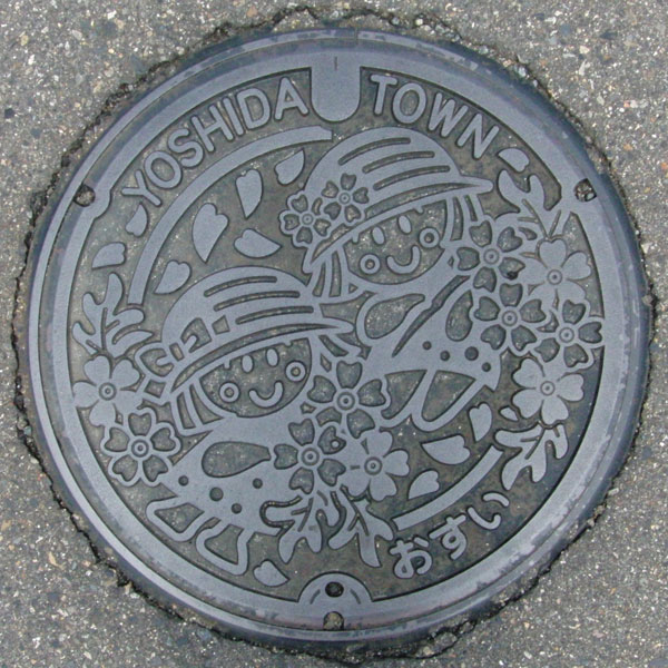
The design depicts two girls playing with flowers. Yoshida Town's two flowers are Madagascar Periwinkle and Verbena tenera.
Bunsui 分水町
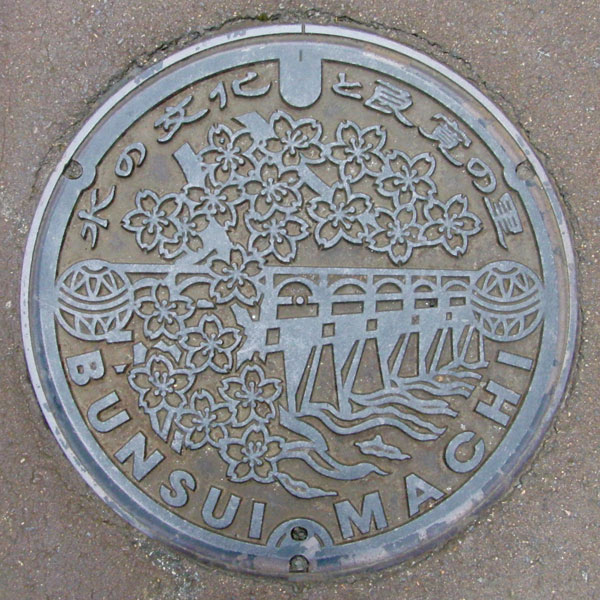
The Okawazu Water Diversion/Moveable Weir, located where the Shinano River flows through Nagaoka City and enters Tsubame City, is pictured, along with the Ten Thousand Cherry Blossoms that bloom there. On either side are Ryokan Temari balls. At the top is the inscription "Water Culture and Ryokan's Hometown."
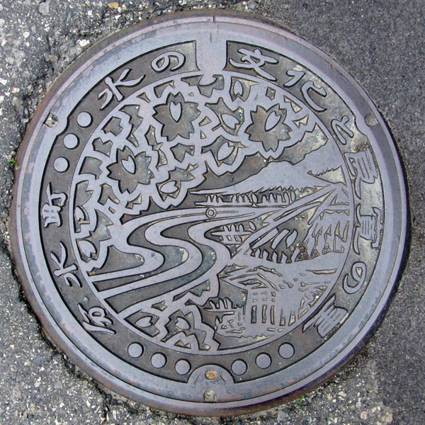
A view of cherry blossoms, Mt. Kugami, and Gogoan, where Ryokan spent approximately 20 years. The words "Water Culture and Ryokan's Hometown" and "Bunsui Town" are written around the edges.
The cover of the designated environmental conservation public sewer in the Choshin district.
Kamo 加茂市
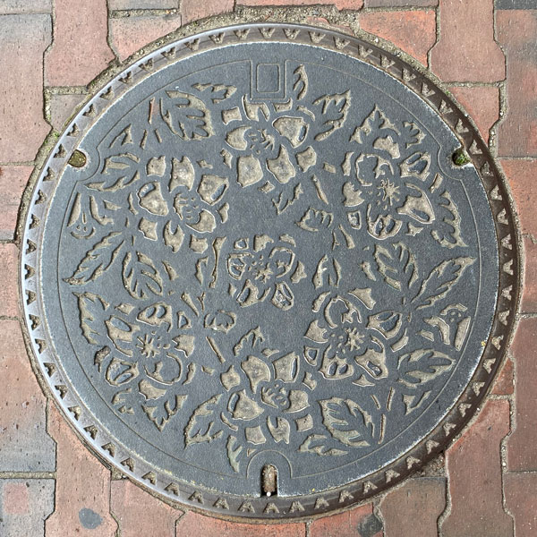
A colorful manhole cover featuring the city's flower, the snow camellia.
Sanjo 三条市
Sanjo 三条市
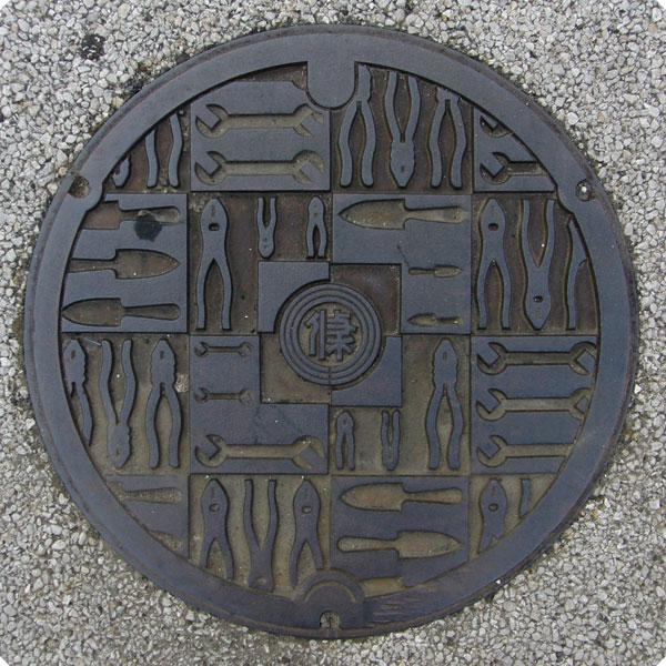
Sanjo City is a thriving city in the metalwork industry, producing knives and tools. This is the cover of the Sanjo Sewerage Treatment District, where wrenches, pliers, and other tools are lined up. It's a separate public sewerage system.
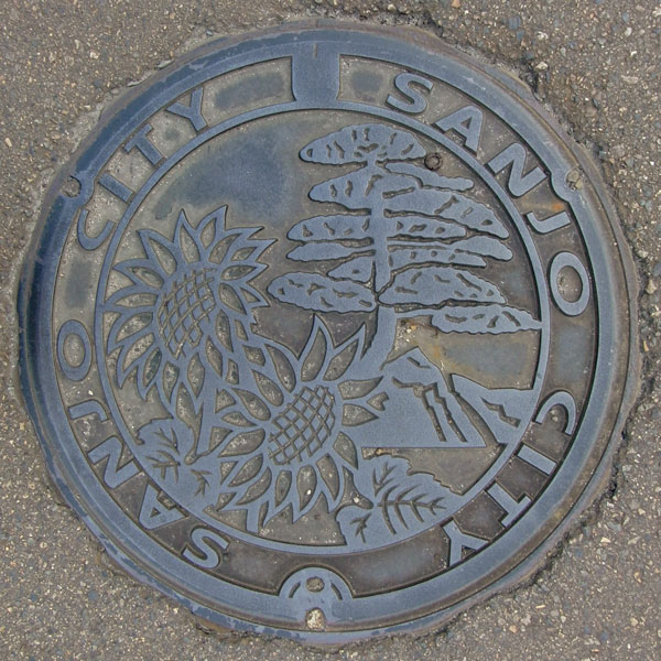
The manhole cover features the city's tree, the Japanese white pine, and its flower, the sunflower.
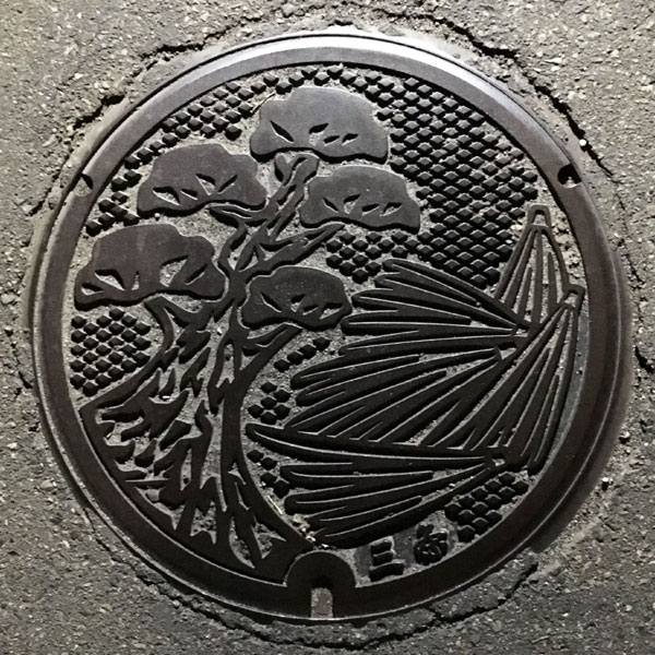
The lid features a picture of the city's tree, the Japanese white pine, and pine needles. The characters "Sanjo" are written at the bottom.
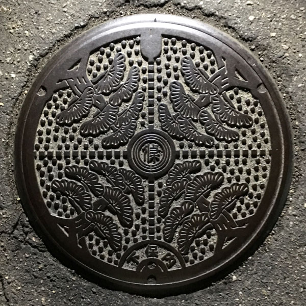
The Shimohonai district agricultural settlement drainage lid features the city tree, the Japanese white pine. The Sanjo city emblem is in the center and the word "Shimohonai" is written at the bottom.
Sakae 栄町
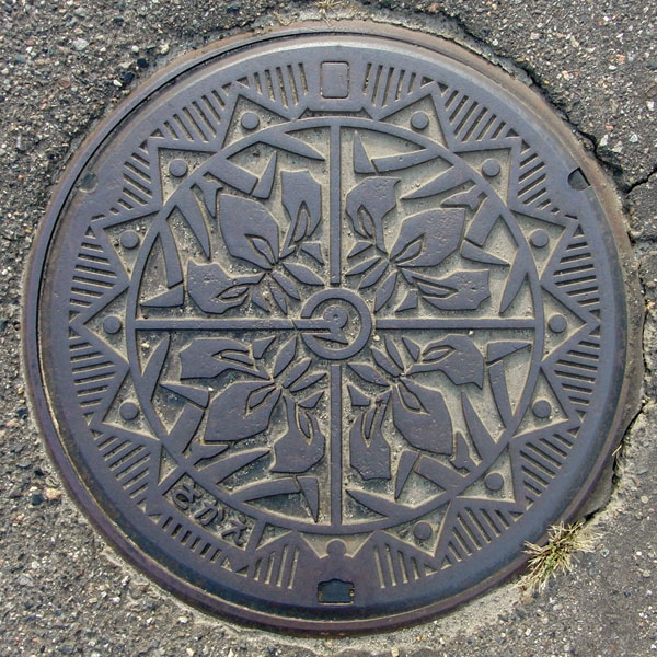
It depicts the town's flower, the iris.
Shitada 下田村
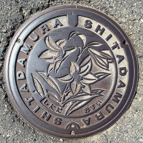
The image depicts the village flower, the Hime Sayuri (lily of the valley). The words "SHITADAMURA" are written around it.
Mitsuke 見附市
The design is based on a 100-panel (approximately 10 tatami mats) giant kite, flown during the Giant Kite Battle held annually from the first Saturday through Monday of June on the Kariyata River embankment downstream from Imamachi Bridge between the Imamachi district of Mitsuke City and the Nakanoshima district of Nagaoka City on the opposite bank. Interestingly, this event was held during the Edo period as a way to rally people together as a way to solidify the embankment. The image in the lower right may represent a lion dance from Oguriyama-cho. The city's tree, the plum tree, is also depicted.
Nagaoka 長岡市
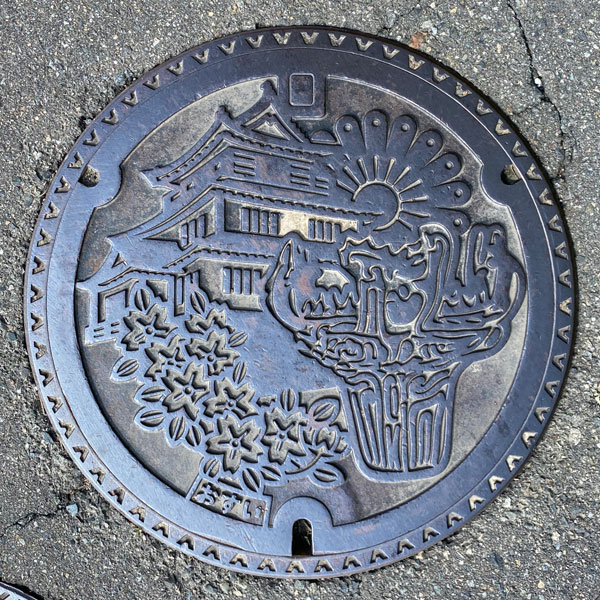
Fireworks typical of Nagaoka, the Nagaoka City Local History Museum in Yukyuzan Park (which looks like a castle tower, but it seems to have no connection to Nagaoka Castle, as it only uses some stones from the stone walls of the former Nagaoka Castle site), and a sewage manhole cover with cherry blossoms and flame-patterned pottery.
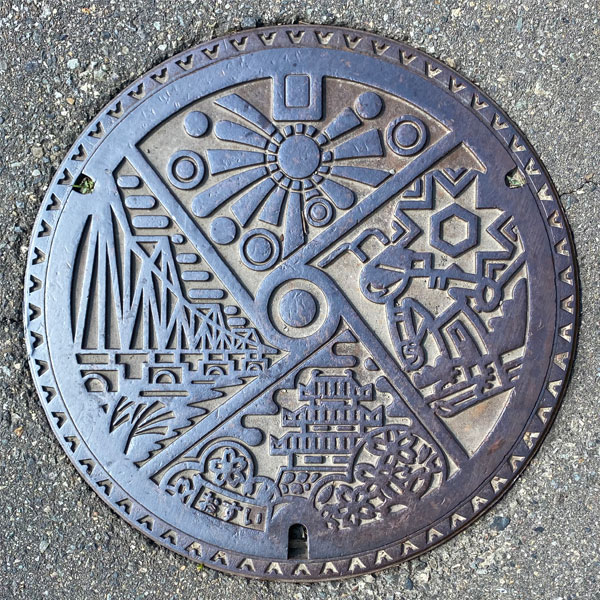
Clockwise from top, the image depicts fireworks, skiers, the Nagaoka City Local History Museum and cherry blossoms at Yukyuyama Park, and the Chosei Bridge over the Shinano River.
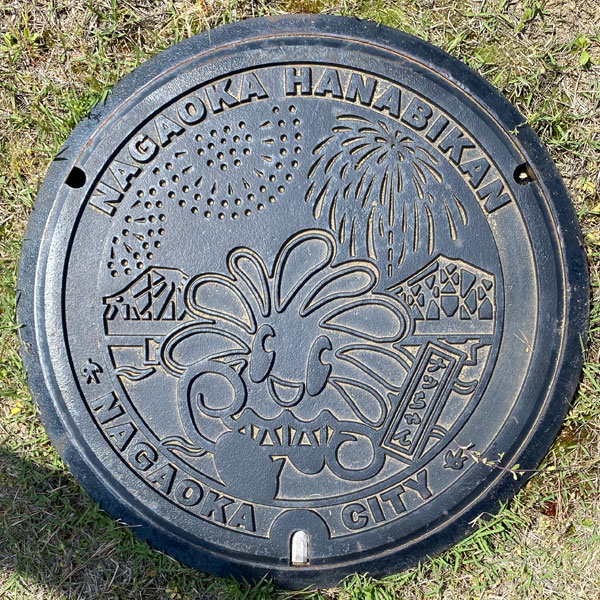
A manhole cover featuring "Nacchan," the Nagaoka fireworks fairy, is depicted against the backdrop of Nagaoka's symbolic Chosei Bridge and its 3-foot fireworks display.
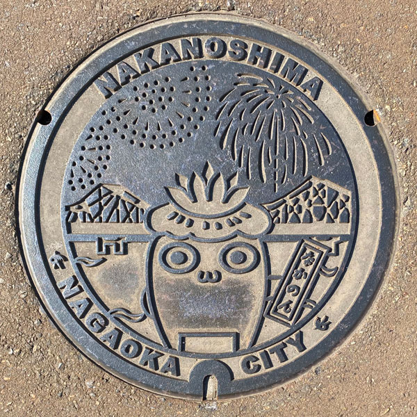
A manhole cover features "Nakanon," the mascot character for the Nakanoshima area, against the backdrop of Nagaoka's symbolic Chosei Bridge and its 3-foot fireworks display.
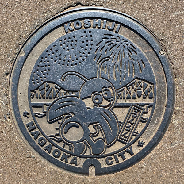
The manhole cover features Runrun, the mascot character of the Koshiji area, with Nagaoka's symbol, Chosei Bridge, and its 3-foot-high sphere hanging in the sky in the background.
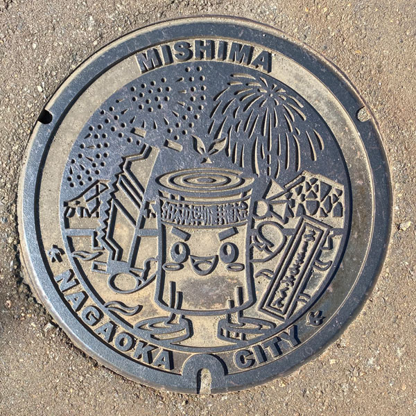
A manhole cover features the Mishima region's mascot character, "Mishimaru Futaku-kun," against the backdrop of Nagaoka's symbolic Chosei Bridge and its 3-foot fireworks display.
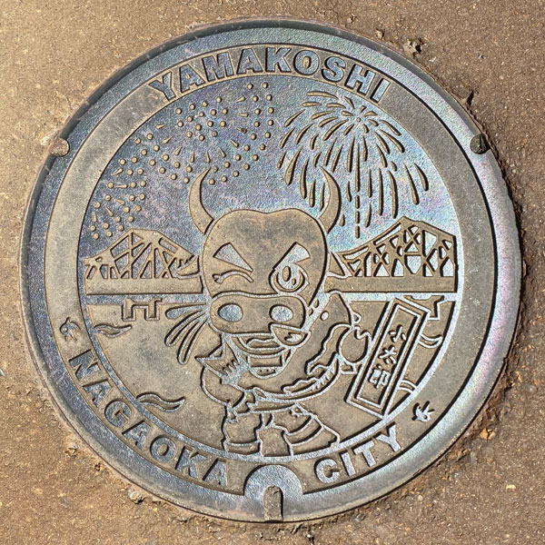
This manhole cover features "Kotaro," the acting chairman of the Yamakoshi Tourism Association, holding a Nishikigoi carp, against the backdrop of Nagaoka's symbolic Chosei Bridge and its 3-foot fireworks display.
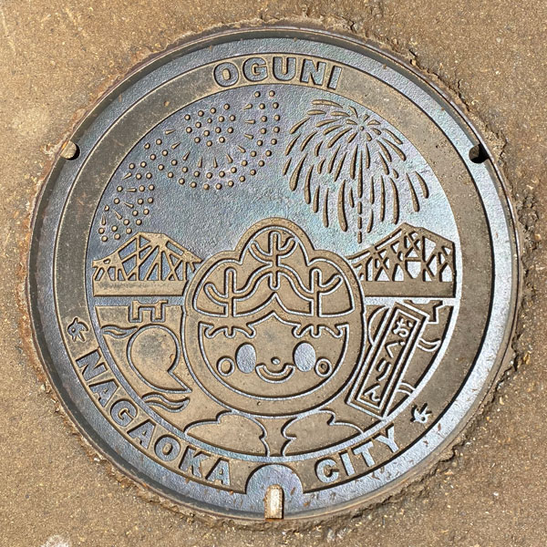
A manhole cover featuring Oguni Forest Park's mascot, Ogurin, with Nagaoka's symbol, Chosei Bridge, and its 3-foot-high sphere hanging in the sky in the background.
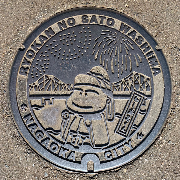
A manhole cover featuring Wajima Tourism Ambassador "Washimaro of Nara" with Nagaoka's symbolic Chosei Bridge and its 3-foot-high ball hanging in the sky in the background.
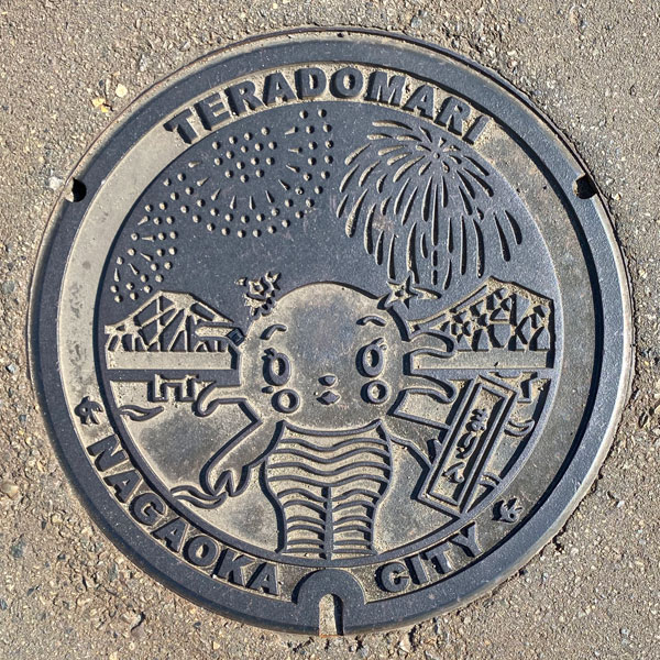
The manhole cover features a painting of Marin, a two-faced god (a goddess in the form of a crab on the front, a male god in the form of an octopus on the back) who watches over the sea of Teradomari, with Nagaoka's symbolic Chosei Bridge and its 3-foot-high ball opening into the sky in the background.
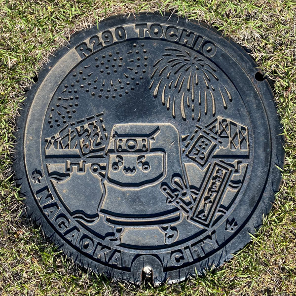
A manhole cover featuring the Tochio region's mascot, "Aburagenshin," with Nagaoka's symbol, Chosei Bridge, and its 3-foot-high tama (seven-foot-tall ball) hanging in the sky in the background.
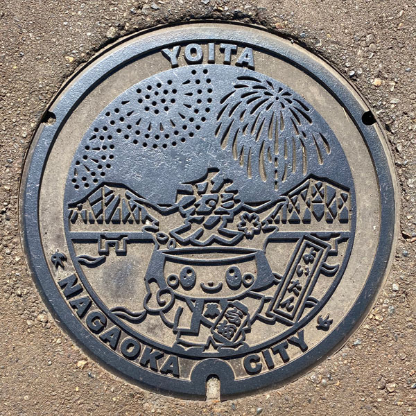
A manhole cover features Yoitan, the mascot character of the Yoita region, with Nagaoka's symbolic Chosei Bridge and its 3-foot fireworks displaying in the sky in the background.
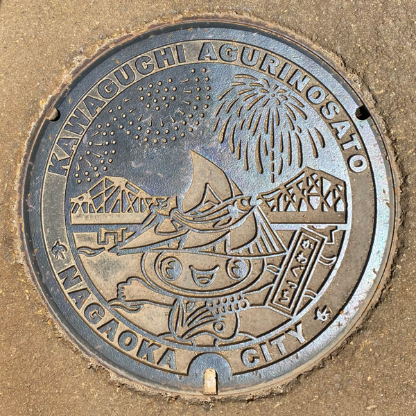
A manhole cover featuring Kawaguchi's mascot character, "Kawaguchichi," with Nagaoka's symbol, Chosei Bridge, and its 3-foot-high sphere hanging in the sky in the background.
Nakanoshimsa 中ノ島町
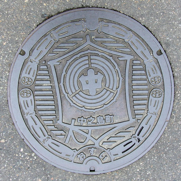
This manhole cover for wastewater treatment features a kite from the "Imamachi-Nakanoshima Giant Kite Battle" held on the Kariyata River embankment between the Imamachi district of Mitsuke City and the Imamachi district on the opposite bank. The kite features the town emblem and the inscription "Nakanoshima Town." It is surrounded by lotus root, a local specialty.
Koshiji 越路町
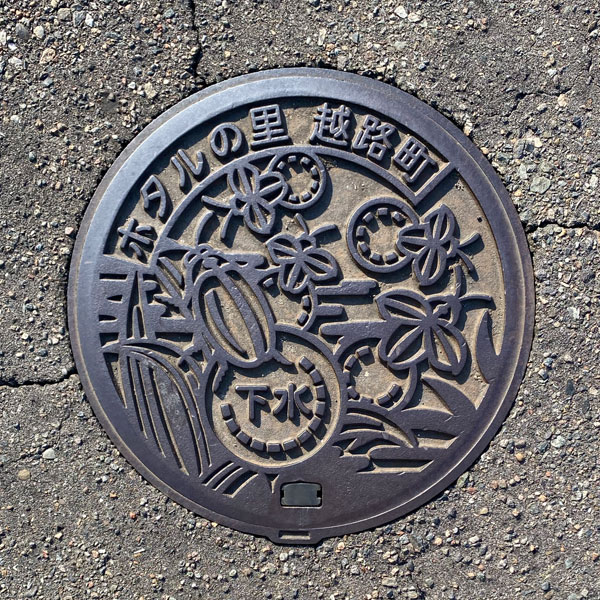
This photo depicts fireflies that appear in the southern region.
Mishima 三島町
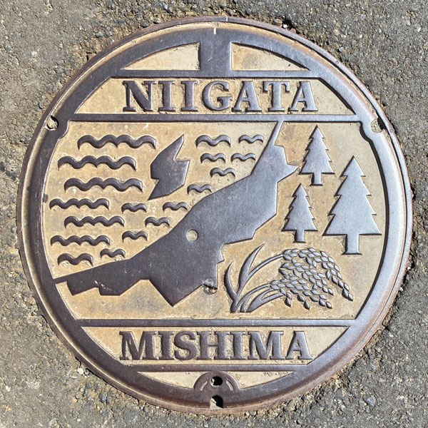
The small circle on the map of Niigata Prefecture appears to represent the location of Mishima Town. The cedar tree on the right represents the town's tree, and ears of rice are also depicted, representing the town's main industry, rice farming.
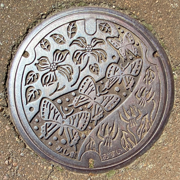
The butterfly near the center is a Gifu butterfly. On either side are the town's flowers, the dogwood and the dogtooth violet.
Oguni 小国町
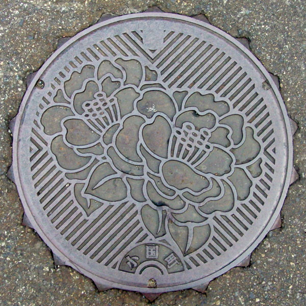
The picture depicts the town's flower, "Yukioguni," a species of snow camellia. However, all the lids were severely damaged, and none were found with all the petals intact.
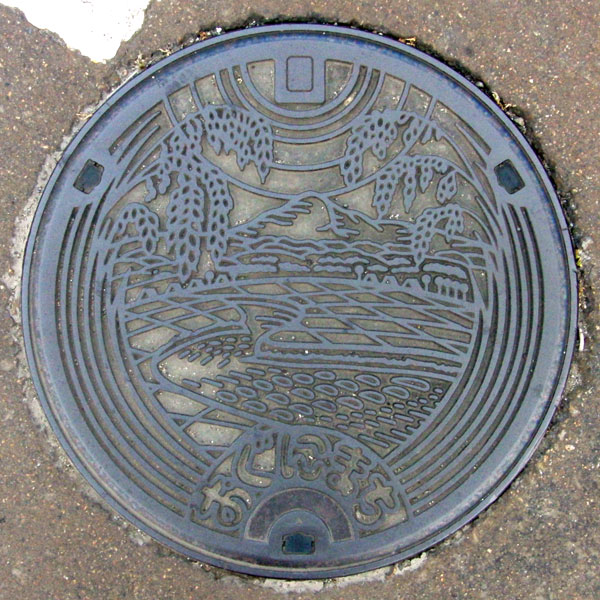
The image depicts my hometown's mountain, Mt. Yatsukoku, the Shibukawa River, and rice fields. Oguni is a small basin, so there are apparently rice terraces, but they don't appear to be near the Shibukawa River.
Tochio 栃尾町
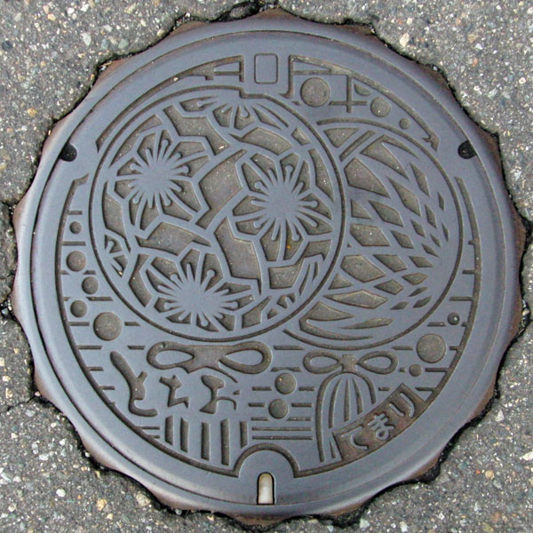
The design is "Tochio Temari." These decorative beads are made with leftover tsumugi thread. The one on the left is apparently a "twisted plum" design, and the one on the right is a "chrysanthemum" design.
Teradomari 寺泊町
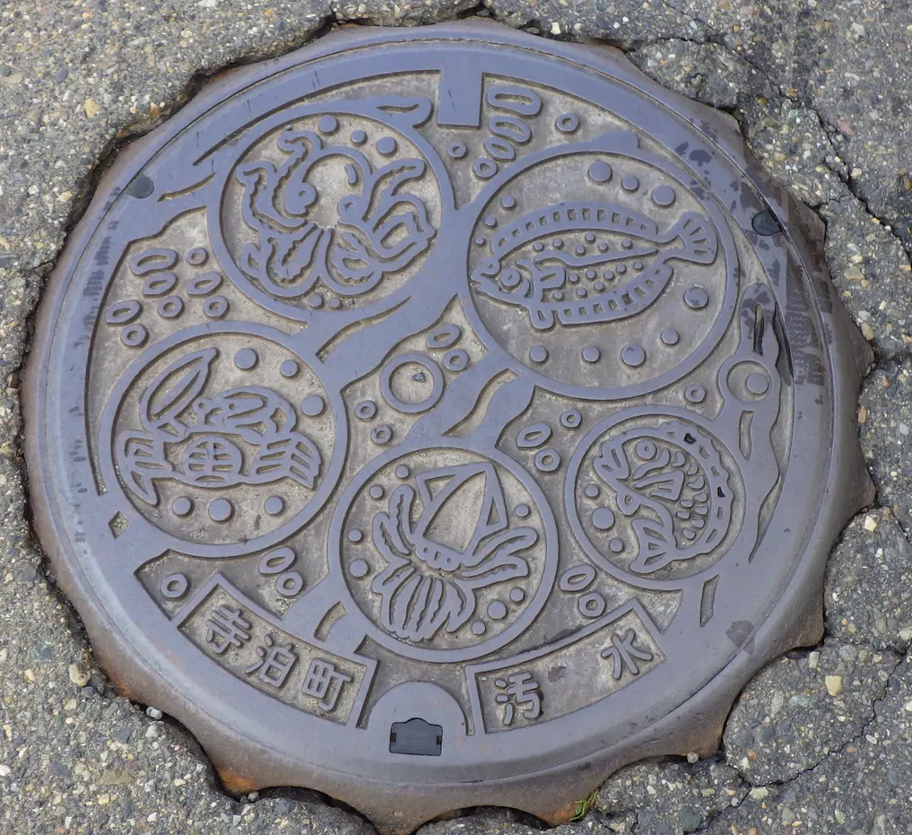
Teradomari is synonymous with seafood. Flounder, sea bream, squid, crab, octopus, and more—a vibrant array of seafood. Teradomari Ameya Yokocho is also bustling, and even parking a car can be a challenge on weekends.
Yoita 与板町
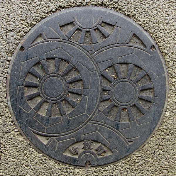
This lid features a wheel design for the climbing floats of the Yoita Jugoya Festival, held in mid-September.
Washima 和島村
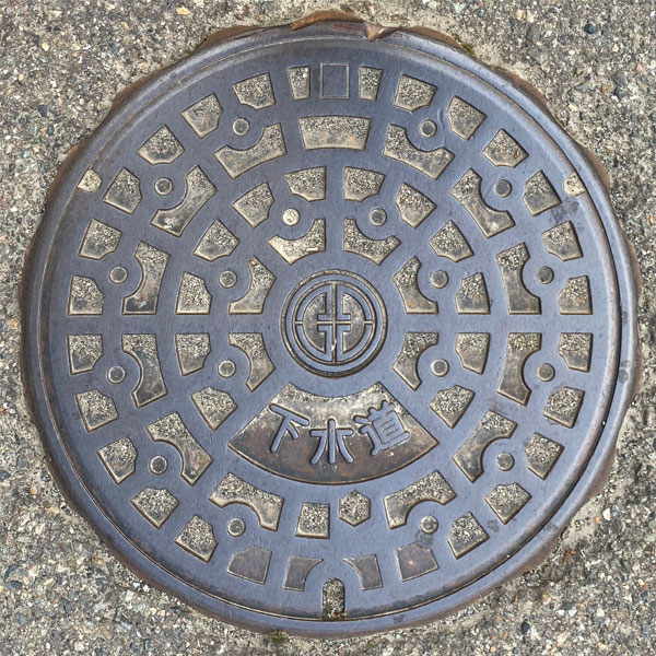
The lid has a standard pattern and the village emblem is in the center.
Kawaguchi 川口町
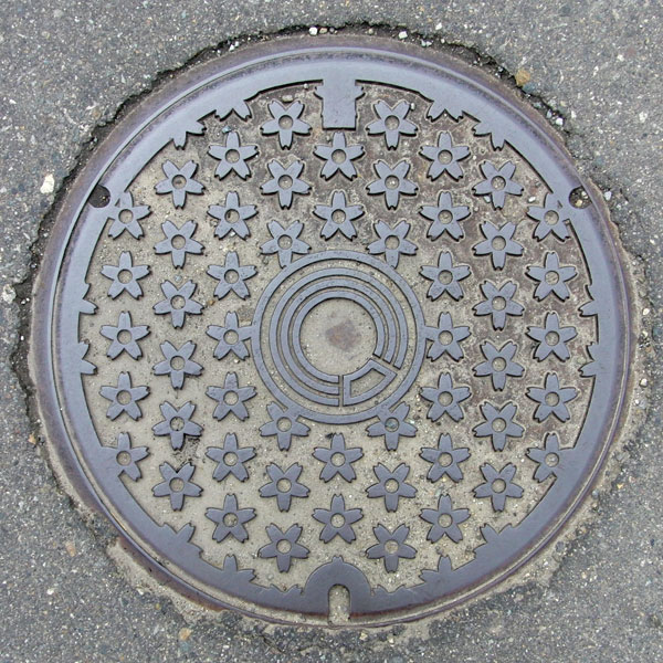
The tree of the former Kawaguchi Town was the cherry blossom, and the town flower was the moss phlox, but this design appears to be a moss phlox. The center is the outer part of the former town emblem, which, as can be seen, represents "Kawaguchi." The original town emblem, as shown in the "Merger Monument" below, features the Sasarindo (Gentiana japonica), the crest of the Engishiki Kawai Shrine, the local shrine of Kawai-go (formerly Kawaguchi Village, Ta Mugiyama, and Kawai Village).
Kashiwa 柏崎市
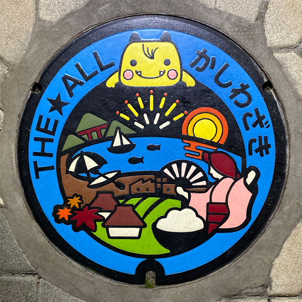
The colorful manhole cover features the "City Sales Symbol Mark," in which the mascot "Echigon" introduces Kashiwazaki's various tourist attractions, such as the sunset over the Sea of Japan, large fireworks by sea, Mt. Yoneyama and the red Yoneyama Bridge, yachts, fish, beaches, thatched-roof houses, the traditional performing art of Ayako Dance, and rice, all in one place. The cover also reads "THE★ALL Kashiwazaki."
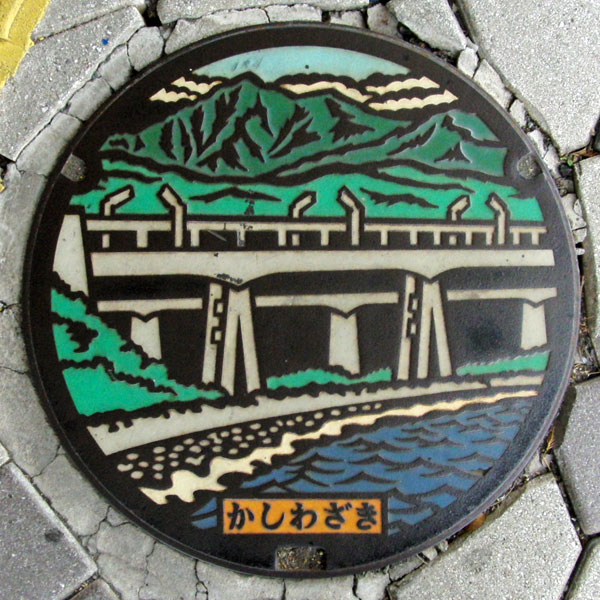
The Yoneyama Bridge on National Route 8 and the bridge of the Hokuriku Expressway overlap. When I searched for images online, I could clearly see the piers of the expressway, although not as clearly. One difference from the real thing is that the red piers of the Yoneyama Bridge have been colored gray. This was probably done because adding another color would have increased the production costs, but it's a shame as they could have made the background color of the "Kashiwazaki" letters white and added more red.
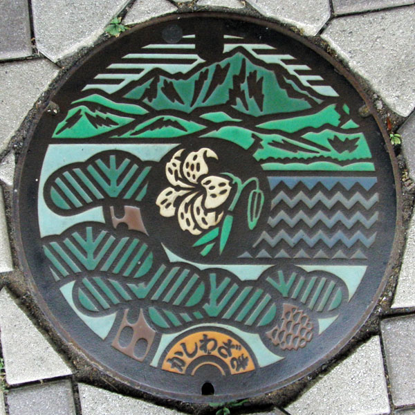
The manhole cover features "Yoneyama," the city's tree, the pine, and the city's flower, the mountain lily.
The design shows Mount Yoneyama, located southwest of Kashiwazaki city, overlooking the city's pine tree. This view is likely to be seen from the area around Yoneyama Fukuura Hakkei Natural Park near Omigawa Station, or from Onodate Park near Kashiwazaki Marina.
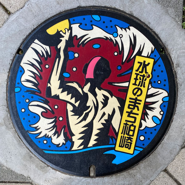
This color disc, themed "Kashiwazaki, the City of Water Polo," was donated as part of the 45th anniversary of the sister-state partnership between the Kashiwazaki Yoneyama Lions Club and Takasaki Lions Club.
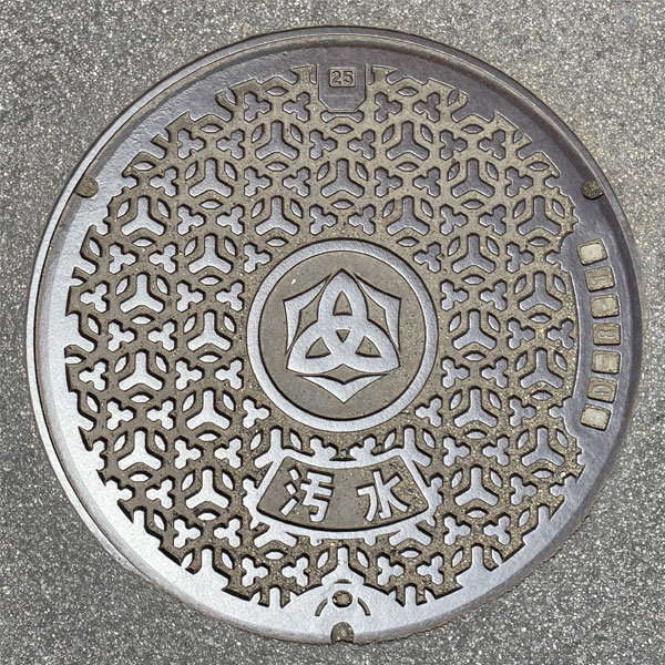
For sewage. City emblem in the center.
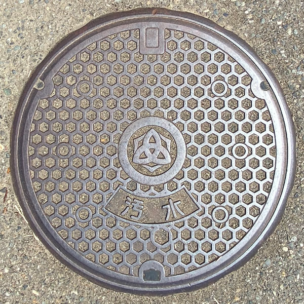
For sewage. City emblem in the center.
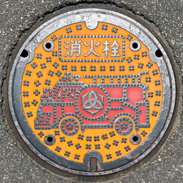
A fire hydrant cover with a fire engine painted on it.
Ishiji 石地町
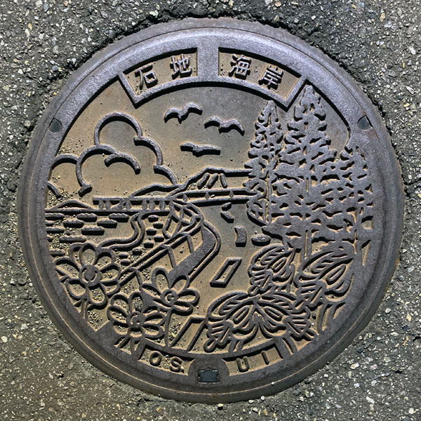
A view of Ishiji Coast, including the fishing bridge of Ishiji Fishing Center (closed in April 2015), and a manhole cover for the Ishiji district's public sewer system, featuring the Nishiyama Town tree, the Japanese cedar, and the town's flowers, the dogtooth violet and snowdrop.
Nishiyama 西山町
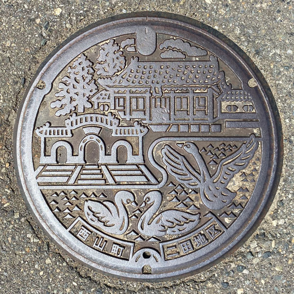
The image depicts the Chinese-style "Seiyukan" building at the Nishiyama Furusato Koen Roadside Station and the swans of "Nagamine Oike Pond," a swan migration site located about 1 km away in a straight line.
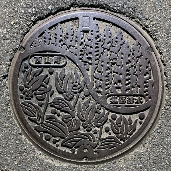
The cover of the agricultural drain depicts the Nishiyama Town tree, the Japanese cedar, and the town flower, the dogtooth violet. Instead of the district name, the words "village drainage" are written on it.
Takayanagi 高柳町
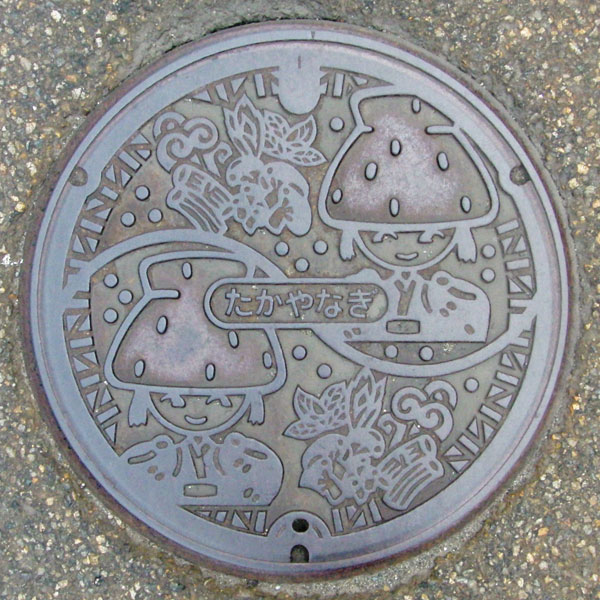
Takayanagi Town is apparently known for its thatched-roof houses, and one of them is perched on top of the girl's head. Next to it are what appear to be local specialties like shiitake mushrooms and wild vegetables, but I'm not sure.
Ojiya 小千谷市
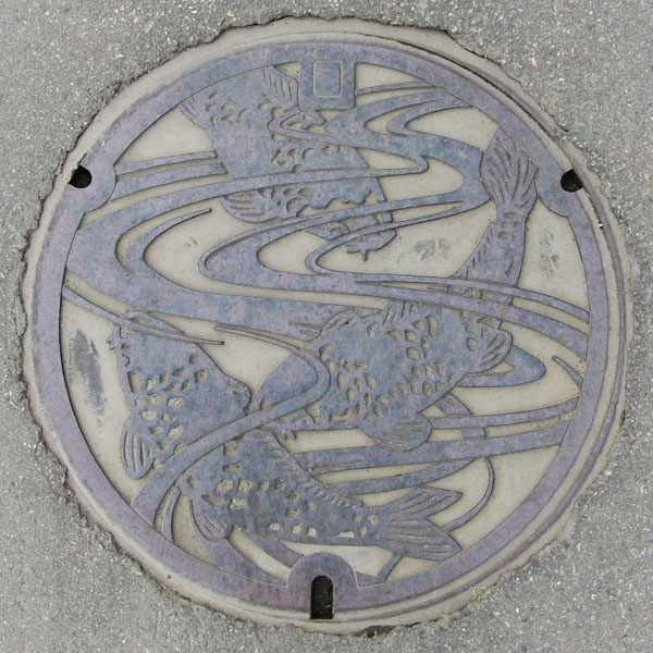
Ojiya City is famous for its Ojiya-chijimi (Ojiya-style silk), but its Nishikigoi (carp) farming is also a big hit.
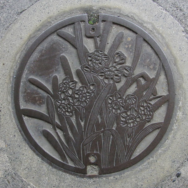
A sewage manhole cover featuring the city's flower, the daffodil.
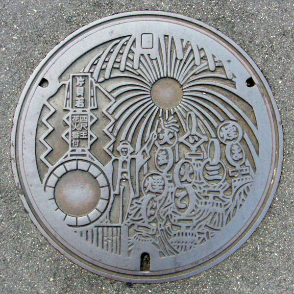
Katakai Festival, known as one of the three major fireworks festivals in Echigo, along with the "Kashiwazaki Festival of the Sea, Nagaoka Festival of the River, and Katakai Festival of the Mountains," is officially called the "Asahara Shrine Autumn Festival Dedication Grand Fireworks." Approximately 15,000 fireworks are launched, but the highlight is the four-foot fireworks, said to be the largest in the world.
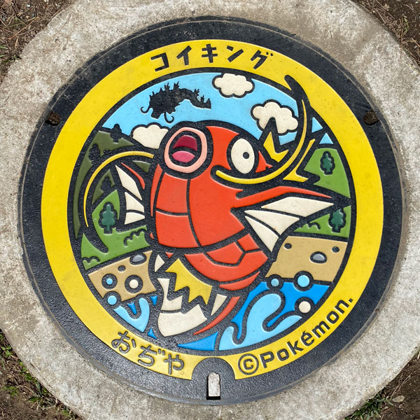
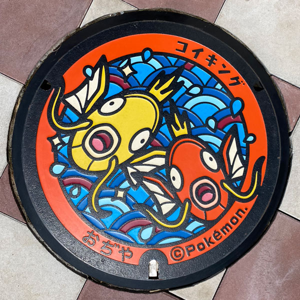
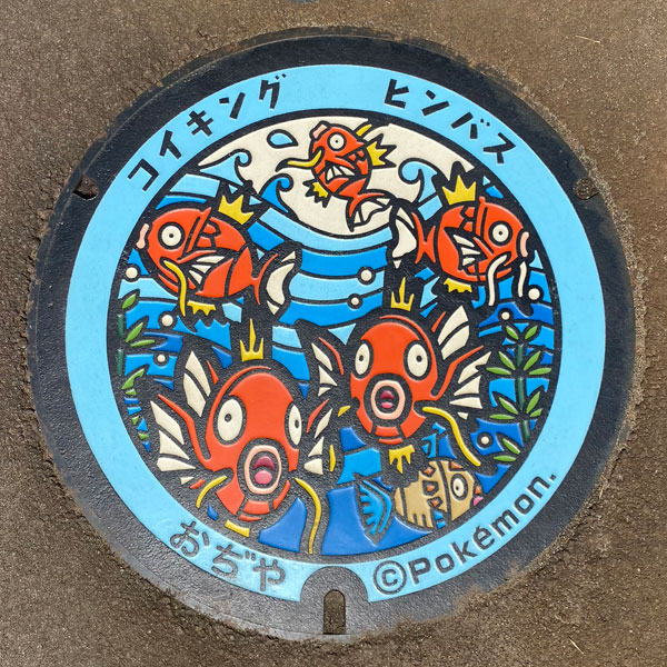
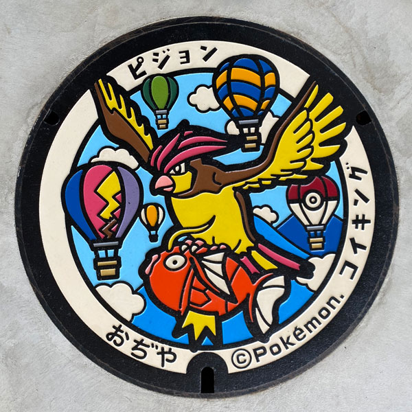
A "Pokémon Manhole Cover 'Poke Lid'" donated by The Pokémon Company.
Uonuma 魚沼市
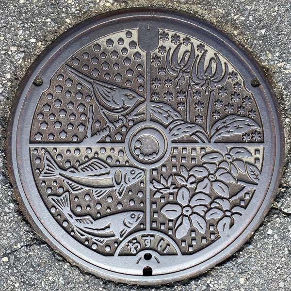
Clockwise from top, this sewage manhole cover depicts the city's flower, the dogtooth violet, the city's tree, the magnolia magnolia, the city's fish, the sweetfish, and the city's bird, the Japanese bush warbler. The Uonuma City emblem is in the center, and the word "osui" (meaning "sewage") is written at the bottom.
Horinouchi 堀之内町
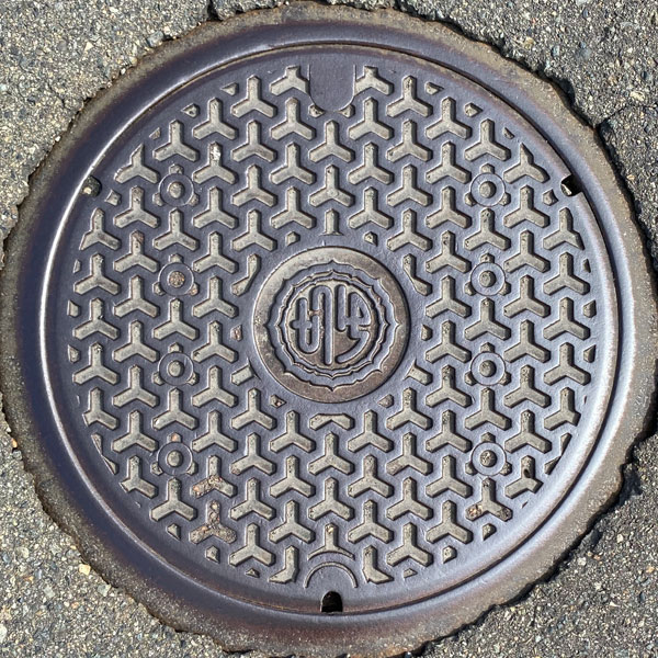
A manhole cover with a Bishamon tortoiseshell pattern. The former Horinouchi town emblem is in the center.
Koide 小出町
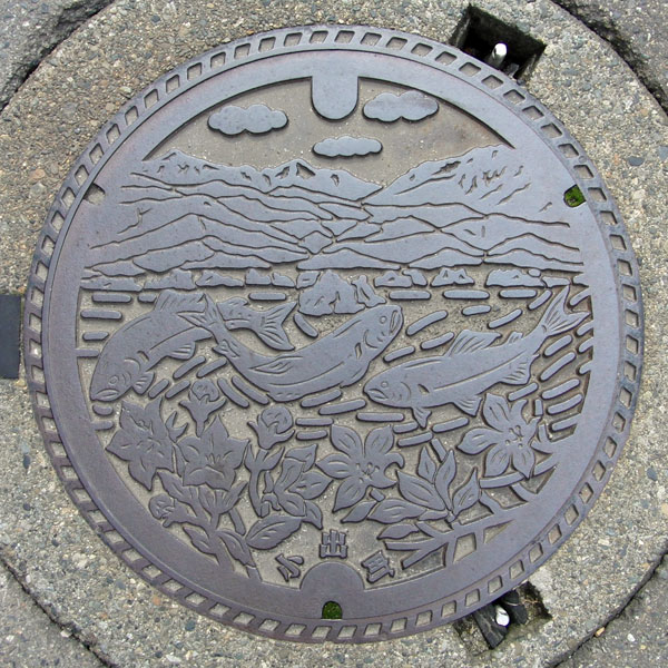
The manhole cover depicts the town tree, the magnolia, the town flower, the bellflower, and a sweetfish from the Uono River, against the backdrop of the Echigo Sanzan mountains (Echigo-Komagatake, Nakanodake, and Hakkaisan).
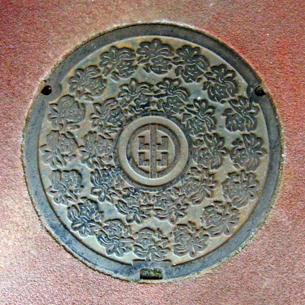
The design combines magnolia and bellflower flowers. The former Koide Town emblem is in the center.
Yunotani 湯之谷村
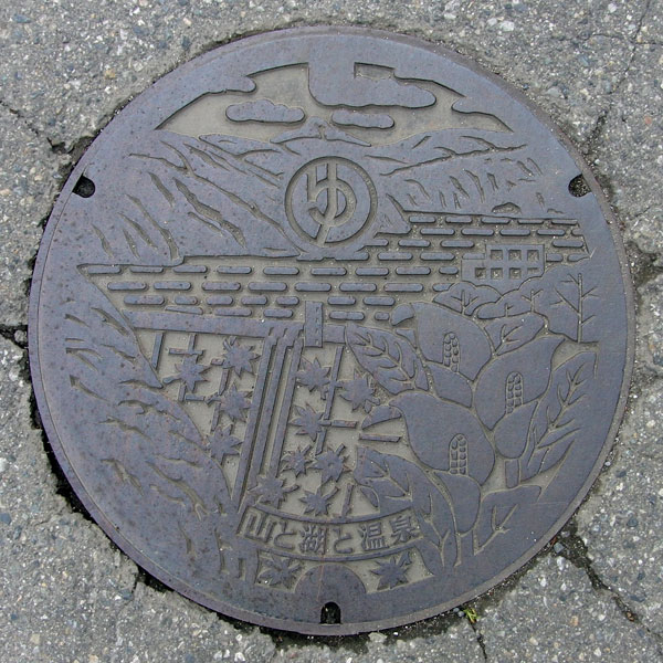
A manhole cover depicts Oze's "skunk cabbage" against a backdrop of mountains centered around Okutadami Dam and Echigo-Komagatake. The village emblem is at the top center.
Hirokami 広神村
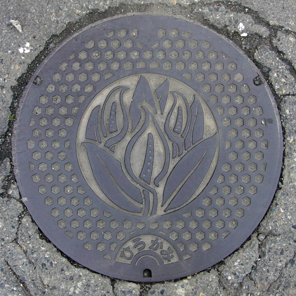
The tree of the former Hirokami Village is the Japanese cherry tree, and the village flower is the dogtooth violet, but this design clearly depicts the Asian skunk cabbage.
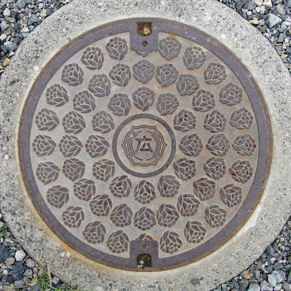
This appears to be a butterbur shoot.
Sumon 守門村
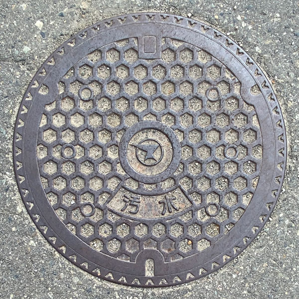
The village emblem appears in the center of the tortoiseshell-patterned board, with the word "sewage" written below it.
Irihirose 入広瀬村
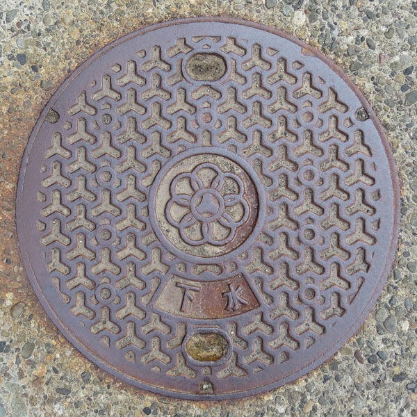
The village emblem is located in the center of the Bishamon tortoiseshell patterned board. The character "sewage" (sewer) appears below.
Joetsu 上越市
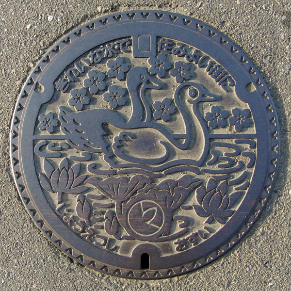
The design depicts "white and black swans" floating in the outer moat of Takada Castle, "lotus flowers" blooming in the moat, and the city's tree, the "cherry blossom," in the background.
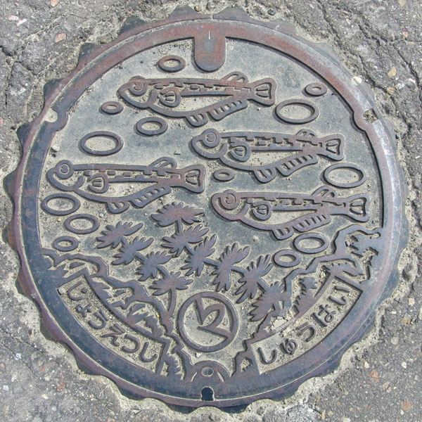
A drainage lid for agricultural communities in the Tsuari Nanbu district of Joetsu City. A killifish is depicted on it.
Yasuzuka 安塚町
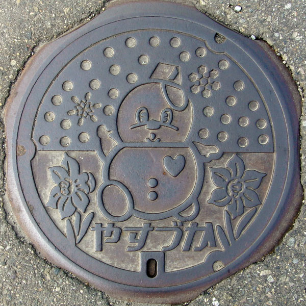
Yasuzuka is known for its snow air conditioning system, which utilizes snow, a nuisance, in the summer. Its mascot is, of course, a "snowman," with snow on the top half and a "daffodil," the town's former flower, and the word "Yasuzuka" on the bottom half.
Uragawara 浦川原村
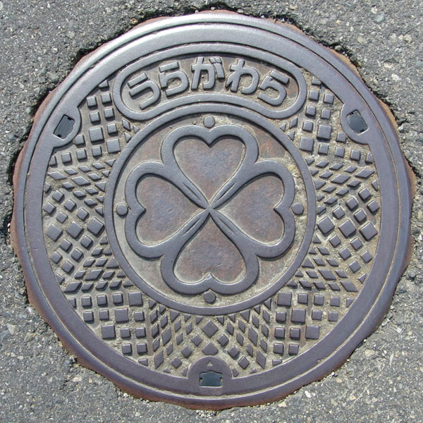
I wondered why there was a four-leaf clover when the village flower was the hydrangea, and then I realized that the inside of the central circle (four leaves and four dots) was the old village emblem.
Kakizaki 柿崎町
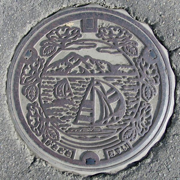
A yacht floats among the town's flower, the "Rosa rugosa," with Mount Yoneyama in the background. However, Kakizaki apparently doesn't have a harbor of its own.
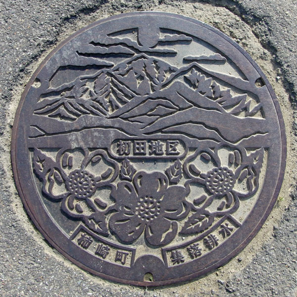
Hatsuda district drain cover. It features the "Yoneyama" (Yoneyama) and the town flower, the rosehip. Near the center, "Hatsuda District" is written, and at the bottom, "Kakizaki Town" and "Village Drainage" are written.
Ogata 大潟町 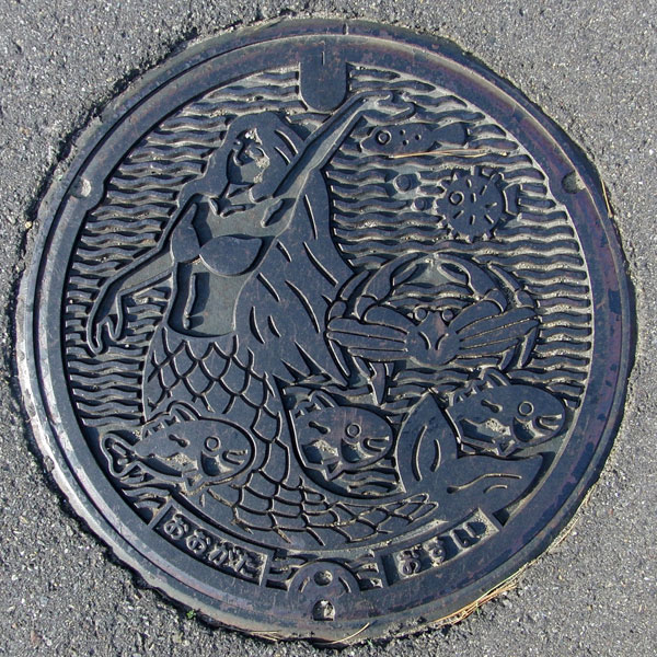
The former Ogata Town was the inspiration for Miyō Ogawa's "The Red Candle and the Mermaid," and the lid features mermaids, fish, and crabs. The characters "Ogata" and "Osui" are written at the bottom.
Kubiki 頸城村
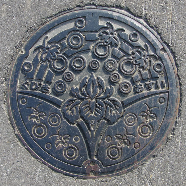
The village flower, the iris, stands out, but what about the insects around it? Normally, they'd be fireflies, but...
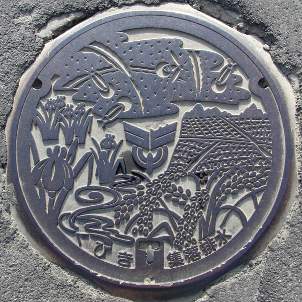
This is the lid for the Kubiki Central Treatment District agricultural village sewage system. The words "Kubiki" and "Village Sewage" are written at the bottom.
The insect on top is a firefly. On the left is a picture of the village flower, the iris, and on the right is a rice paddy and ears of rice.
Yoshikawa 吉川町
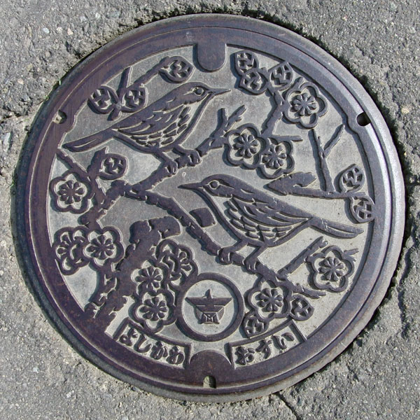
The image depicts the town's tree, the plum tree, and its bird, the Japanese bush warbler. The plum tree and the Japanese bush warbler are a bit too perfect. The village emblem and the characters "Yoshikawa" and "Osui" are at the bottom.
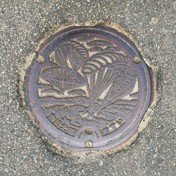
This is a cover for a handhole for agricultural collection and drainage in the northern Yoshikawa area
Okami-dake, located on the eastern edge of the former Yoshikawa Town (now Yoshikawa Ward), is said to be one of the most popular paragliding destinations on the Sea of Japan.
Nakago 中郷村
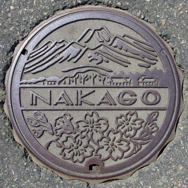
The lid depicts the village landscape with Mt. Myoko in the background and the village flower, the cherry blossom. The obi has the word "NAKAGO" written on it.
Itakura 板倉町
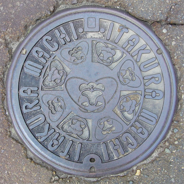
The painting depicts the town's flower, the mountain azalea, with the words "ITAKURA MACHI" written around it.
Sanwa 三和村
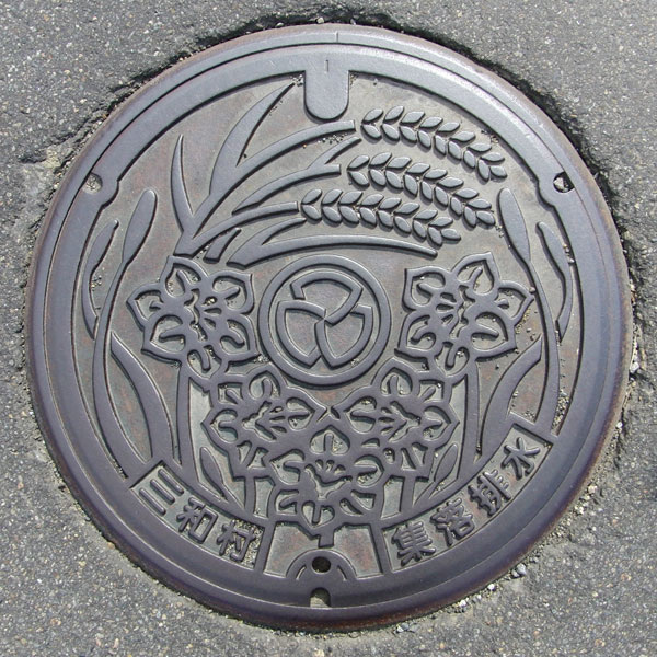
This is a drainage cover for Miwa Village (now Miwa Ward). It depicts the village flower, the daffodil, and ears of rice. The village emblem is in the center, and the words "Miwa Village" and "Village Drainage" are written at the bottom.
Nadachi 名立町
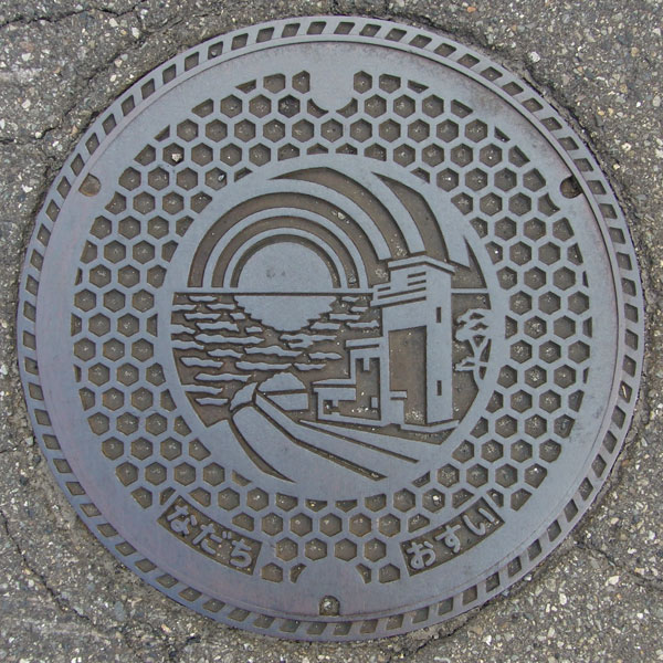
It couldn't possibly be a telephone booth or a public restroom, so I wondered what kind of building it was. Upon further investigation, I discovered that it was the "Nadachi Lighthouse," also known as the Torigakubi Cape Lighthouse, boasting the brightest light in the Hokuriku region. Apparently, it's one of Niigata Prefecture's 100 most scenic spots, offering a view of the sun setting over the Sea of Japan.
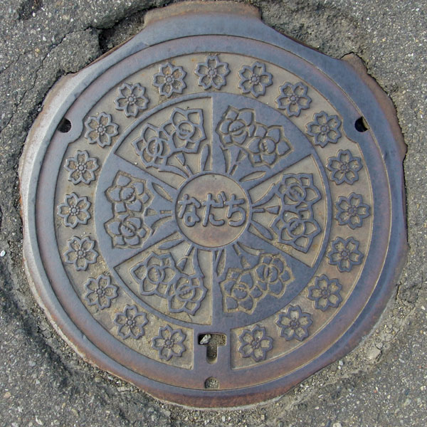
The town's flower is the daffodil and the town's tree is the cherry blossom. The character "Nadachi" is written in the center.
Tokamachi 十日町市
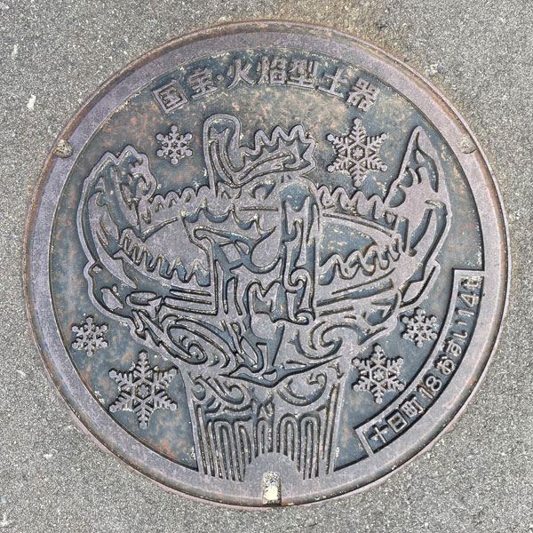
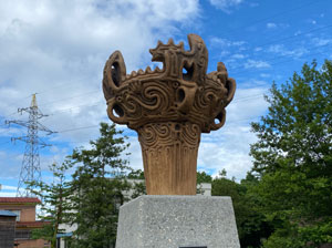
A sewage manhole cover featuring "Jomon Snow Flame," a flame-shaped pottery vessel designated as National Treasure No. 1 and excavated from the Sasayama ruins. Snow crystals surround the vessel. The words "National Treasure Flame-shaped Pottery" are written at the top, and "Tokamachi 18 Osui 14t" are written in the lower right corner.
Tokamachi 十日町市
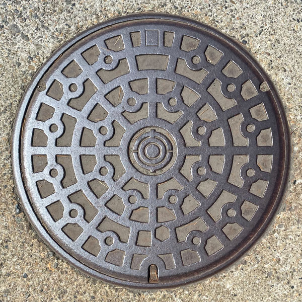
A manhole cover with a standard pattern. The old city emblem is in the center.
Kawanishi 川西町
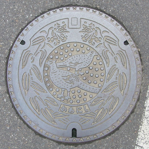
A manhole cover for a designated environmental conservation public sewer system depicts the town's flower, the mountain lily, and the town's bird, the pheasant.
Nakasato 中里村
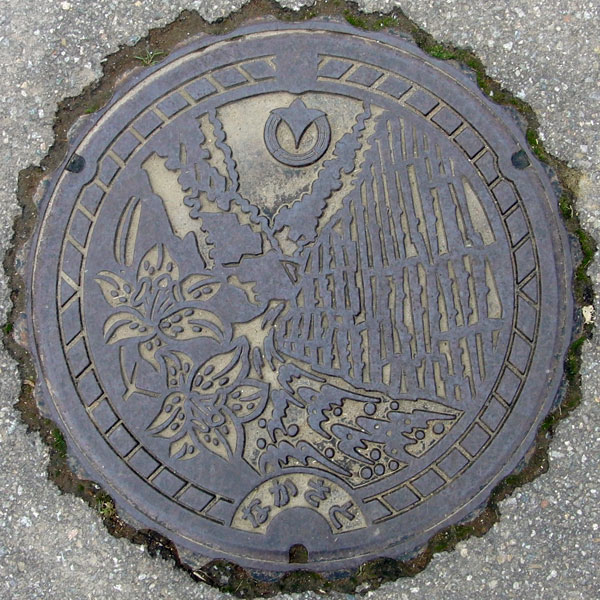
A manhole cover for a designated environmental conservation public sewer system features the town flower, the lily, and the village emblem, with the Kiyotsu Gorge in the background.
Matsudai 松代町
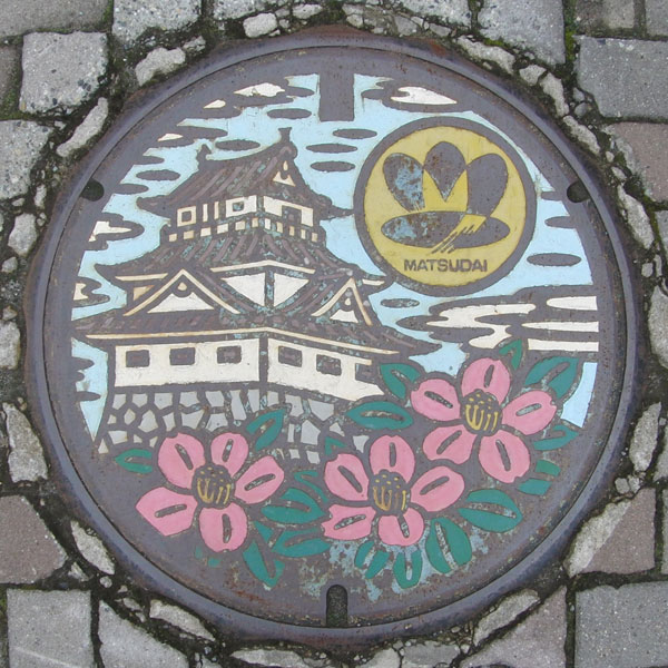
This colored manhole cover for the designated environmental conservation public sewer system depicts the Matsushiro Castle ruins and the town flower, the snow camellia.
Matsunoyama 松之山町
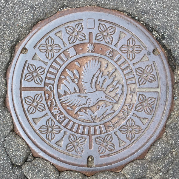
This manhole cover for the designated environmental conservation public sewer system features the Matsunoyama Town bird, the Ruddy Kingfisher, in the center and the town flower, the Shirane-aoi, surrounded by the ruddy kingfisher.
Minamiuonuma 南魚沼市
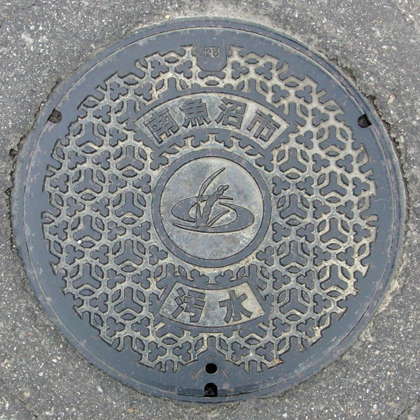
Pattern with the city emblem in the center.
Muika 六日町
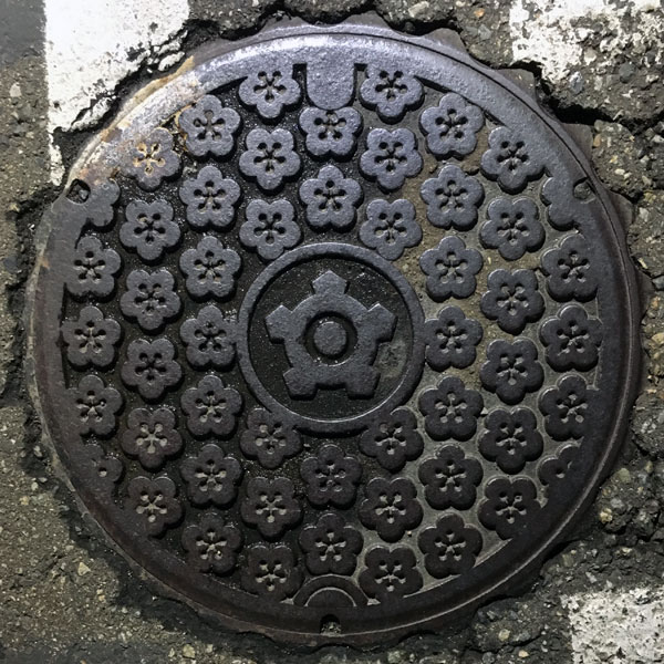
This manhole cover features plum blossoms, the town's tree. The plum blossoms are aligned vertically, while adjacent rows are upside down. The concave portions of the plum blossoms on this cover are connected.
Yamato 大和町
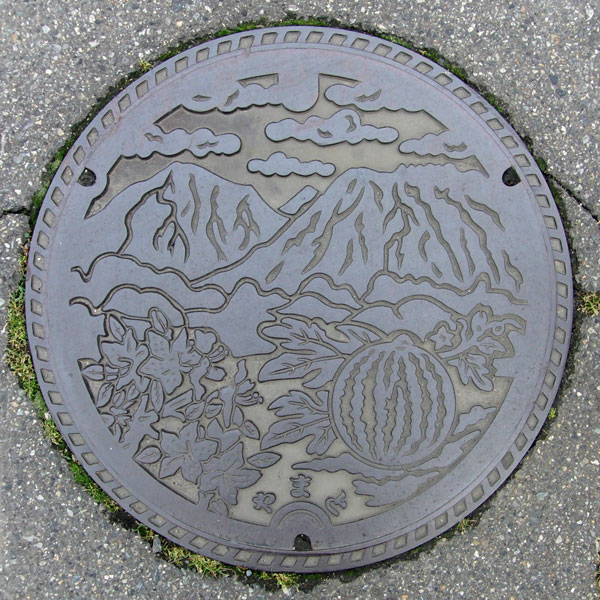
This manhole cover features the town's flower, the "Yashiki Azalea," and its local specialty, the "Yashiki Watermelon," against the backdrop of the Echigo Sanzan (Mount Hakkai, Mount Echigo-Komagatake, and Mount Nakanodake).
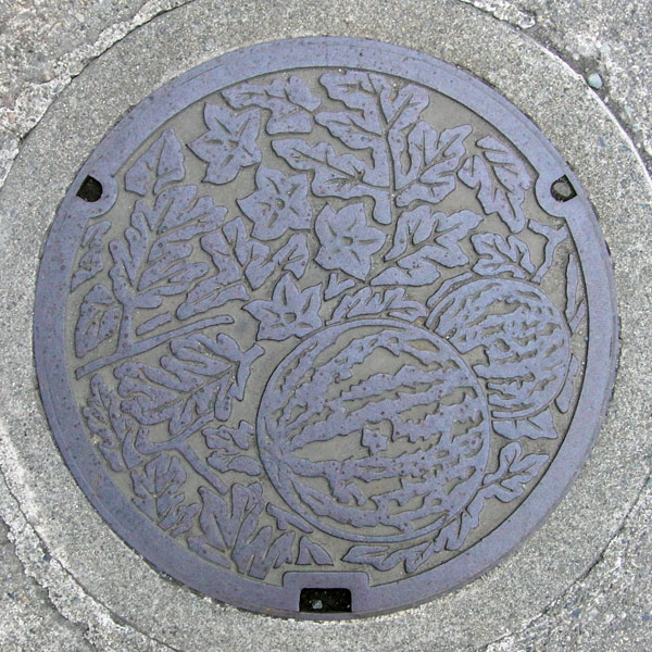
This is a close-up of a watermelon.
Shiozawa 塩沢町
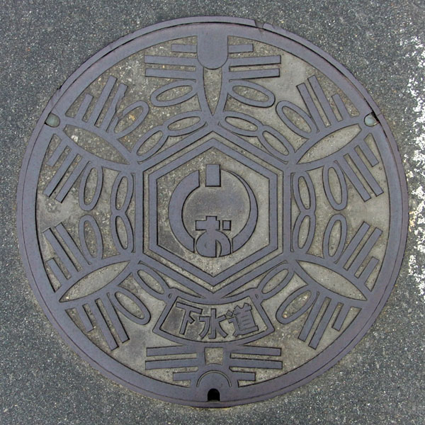
The town emblem features a snowflake with a stylized "salt" (salt).
Itoigawa 糸魚川市
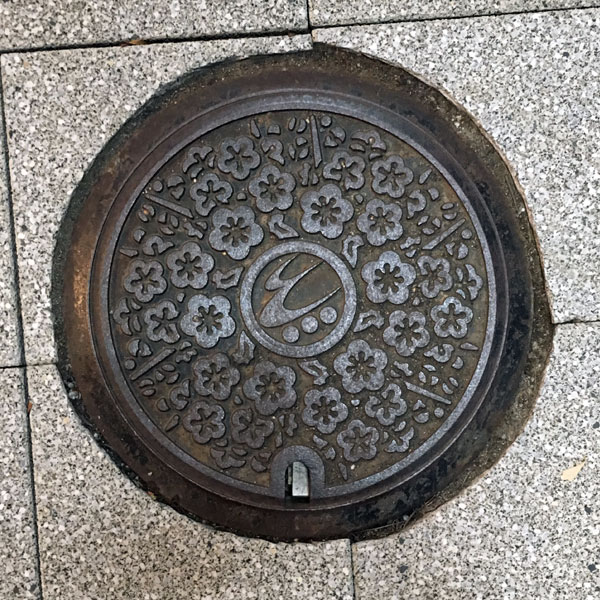
A small version in which the centerpiece of the design is the old city symbol, the plum blossom, replaced with the new city emblem.
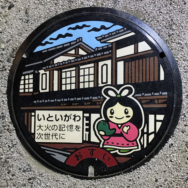
These "reconstruction urban development manhole covers" were installed in and around the areas affected by the Itoigawa Great Fire (December 22, 2016)
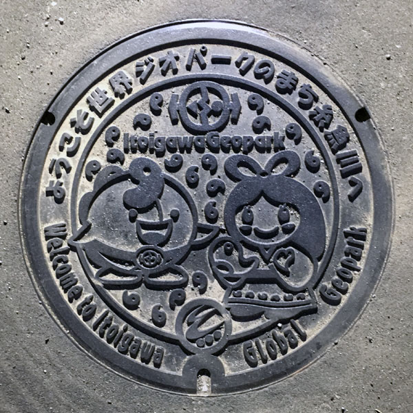
The design centers around the Geopark's PR ambassadors, the mascots "Geomaru" and "Nuna." Jade magatama beads can be seen on Geomaru's forehead and Nuuna's hand, and the raised areas designed to prevent slipping are also made of magatama.
Itoigawa 糸魚川市
It depicts the plum tree, the symbol of the old city.
Nou 能生町
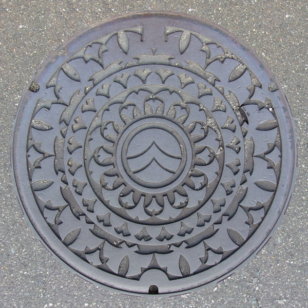
A designated environmental conservation public sewer cover decorated with leaves from the town's tree, the ginkgo biloba.
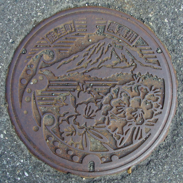 The Tokusen District (Tokugo and Senda) agricultural wastewater collection and drainage lid depicts the town flower, the rhododendron, with Mount Hokogatake in the background.
Oumi 青海町
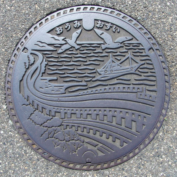
A public sewer cover depicting the Oyashirazu Sea, where the Hokuriku Expressway passes over the sea. Two birds that look like seagulls are flying.
Myoko 妙高市
Arai 新井市
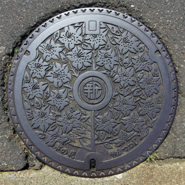
The design features the city's flower, the mountain azalea. The city emblem is the character “新”.
Myokokogen 妙高高原町
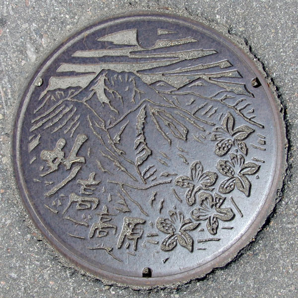
Scenery of Myoko Kogen and Japanese azaleas.
Myoko 妙高村
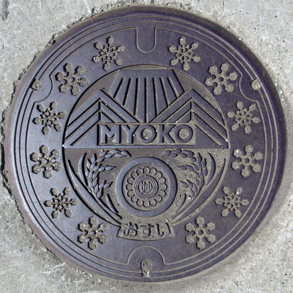
The design features a stylized landscape of Myoko, along with ears of rice and snowflakes. The village emblem is positioned between the ears of rice.
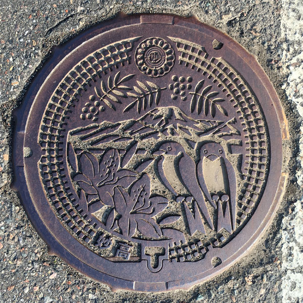
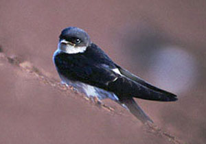
This is a cover for the Myoko district's rural community sewerage system, featuring Mount Myoko in the background along with the village tree (Japanese rowan), village flower (Japanese azalea), and village bird (Asian house martin). The village emblem appears at the top, and the characters for "Myoko" are at the bottom.
Seiro 聖籠町
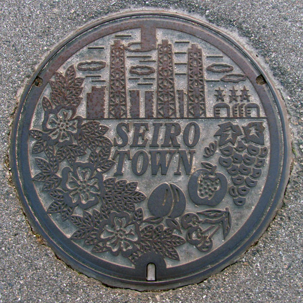
The flower on the left is a rosehip. On the right are fruits such as cherries, grapes, pears, and peaches. In the background is the Tohoku Electric Power Higashi-Niigata Thermal Power Plant, a landmark that can be seen from quite a distance.
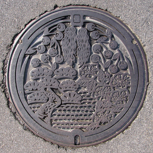
The town's tree, the black pine, the town's flower, the rosehip, and the town's local specialty, cherries, are surrounded by rice stalks on the cover of a designated environmental conservation public sewer.
Tagami 田上町
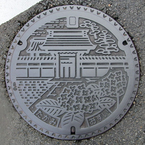
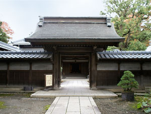
A colorful manhole cover depicting the Yakuimon Gate of Tsubakijuso, a wealthy farmer's mansion (formerly the Tamaki residence), and the town flower, the hydrangea.
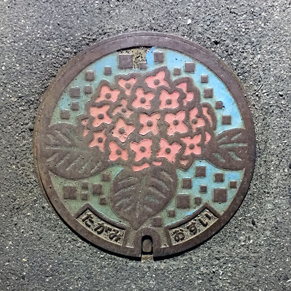
A small color plate for a sewage handhole featuring the town's flower, the hydrangea.
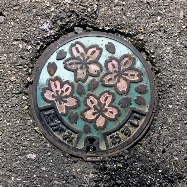
A small color plate for a sewage handhole, depicting the cherry blossoms of the town's tree. It is much smaller than the lid above.
Aga 阿賀町
Tsugawa 津川町
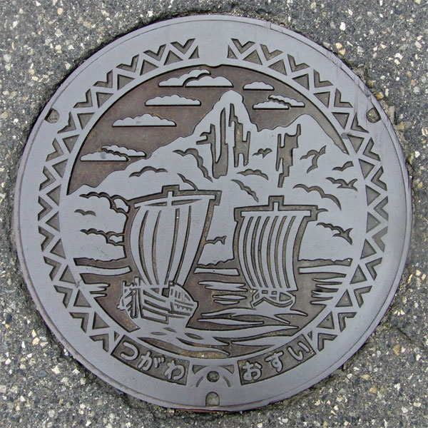
The lid depicts a sailing ship floating on the Agano River with Mount Kirin in the background.
Kanose 鹿瀬町
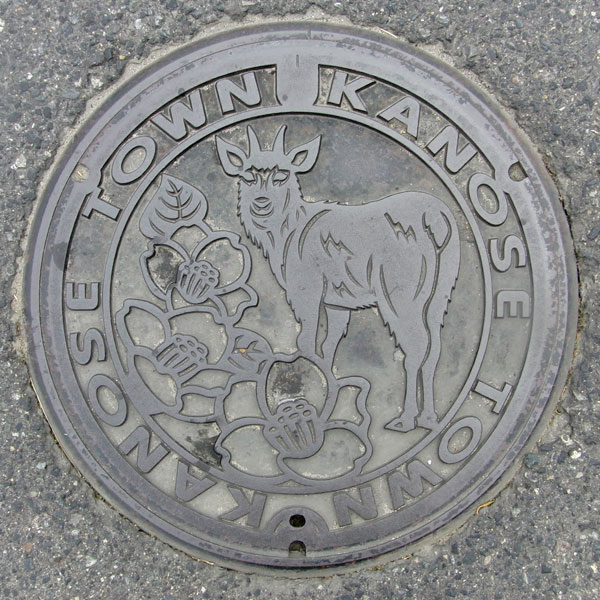
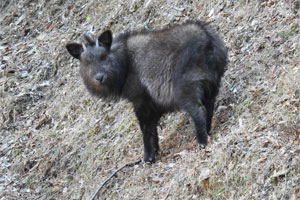
It depicts the town's flower, the snow camellia, and a Japanese serow.
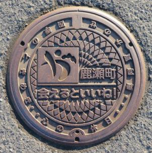
To the left of the central "Kanose-cho" text is the town's symbol mark, and below it is the town's catchphrase, "It would be nice to meet you!". Around the perimeter, in a counter-clockwise direction, are the words "The Thrill of the Four Seasons," "A Holiday for the Soul," and "Oku-Aga Kanose."
Kamikawa 上川村
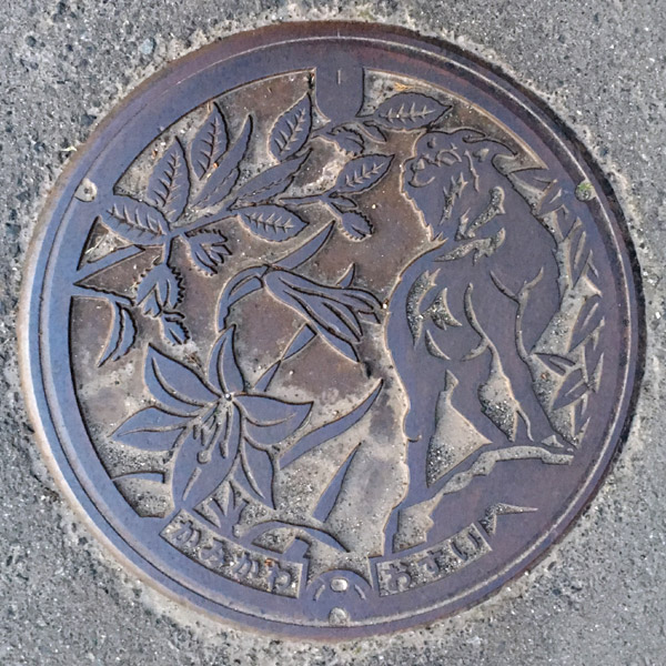
A sewage manhole cover with pictures of the village tree, the beech, the village flower, the Japanese lily, and the village animal, the chamois.
Mikawa 三川村
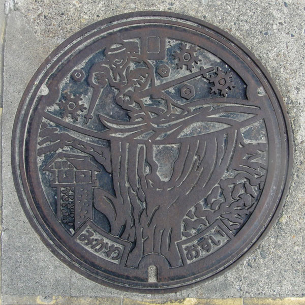
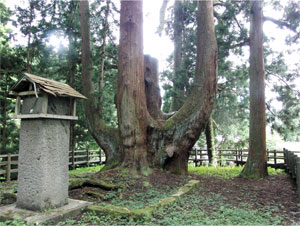
Japan's largest cedar tree, Shogun Cedar, and skiers.
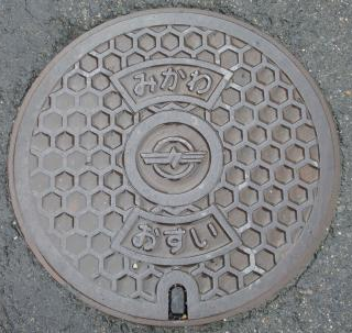
Village emblem in the center.
Izumozaki 出雲崎町
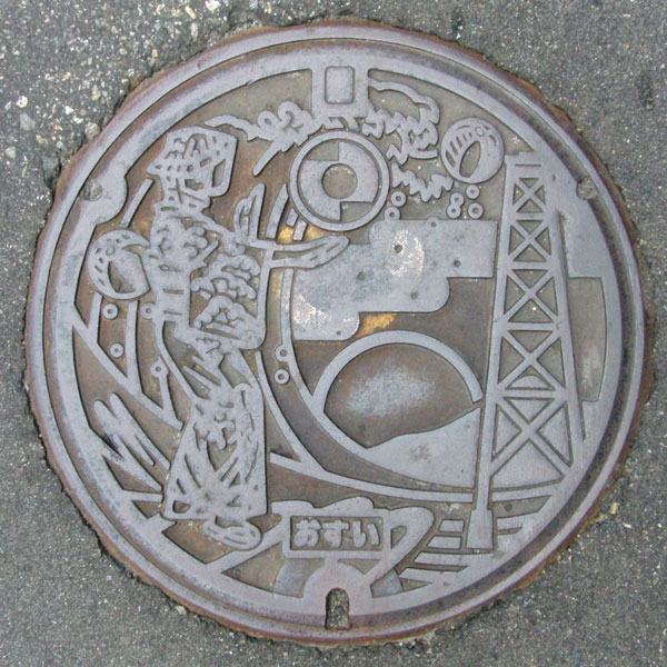
The painting depicts a woman dancing the Izumozaki Okesa, a sunset and rough waves over the Sea of Japan, an oil field pylon, and paper balloons, Japan's largest oil production area. The Amase oil field, the first successfully drilled oil field in Japan, is considered the birthplace of the oil industry.
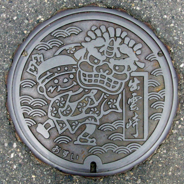
The lid features a wave-patterned background and a lion dance, a traditional New Year's event since the Edo period.
Tsunan 津南町
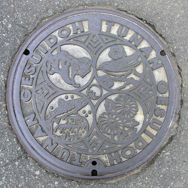
The town's bird, the Japanese bush warbler, the town's flower, the wild chrysanthemum, the rock trout, and the flying squirrel are arranged clockwise. The characters "TUNAN GESUIDOH" are written around the edges, and the town emblem, a stylized "Tsunan" character, is in the center.
Yuzawa 湯沢町
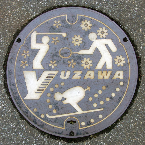
Golf with the town's tree, the red cherry blossom, in the background, tennis with the town's flower, the cosmos, in the background, and skiing. You can enjoy the resort all year round. The town's name is also stylish, "YUZAWA."
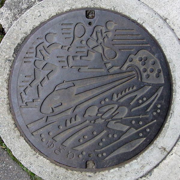
The saying "coming out of a long tunnel at the border into a snowy country" is certainly true, and in winter the scenery in Yuzawa changes completely, as if you have passed through a time tunnel. The design features a Shinkansen bullet train emerging from the tunnel, as well as tennis and skiing.
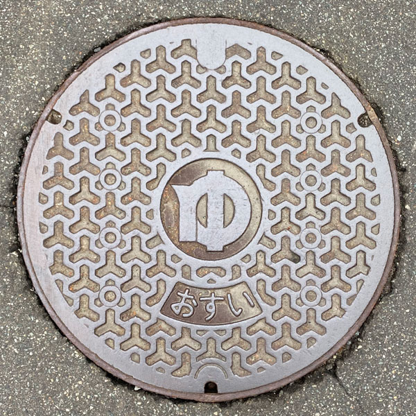
A sewage manhole cover with a Bishamon tortoiseshell pattern, with the town emblem in the center
Awashimamaura 粟島浦村
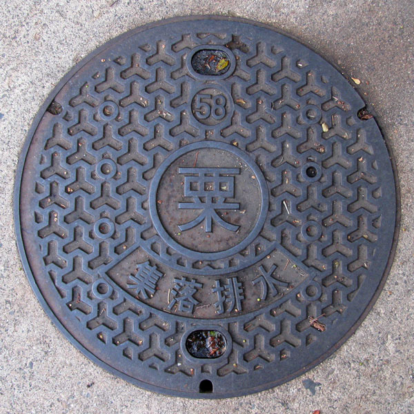
Awashimaura village sewage lid. This lid is from the Uchiura district and has the character "Awa" (millet) in the middle.
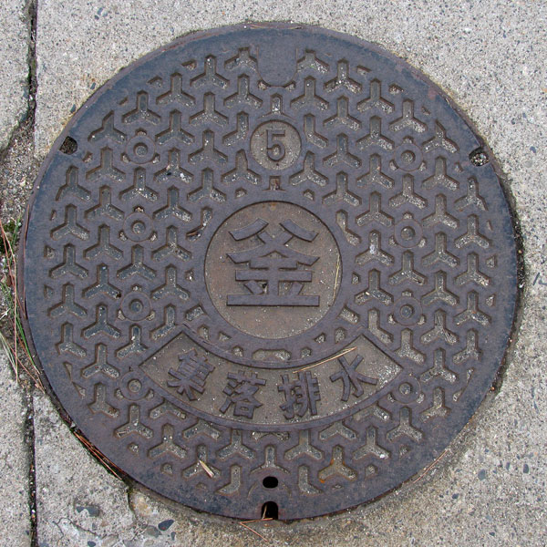
On the lids from the Kamatani area, the character in the middle is "Kama" (pot).
Sekikawa 関川村
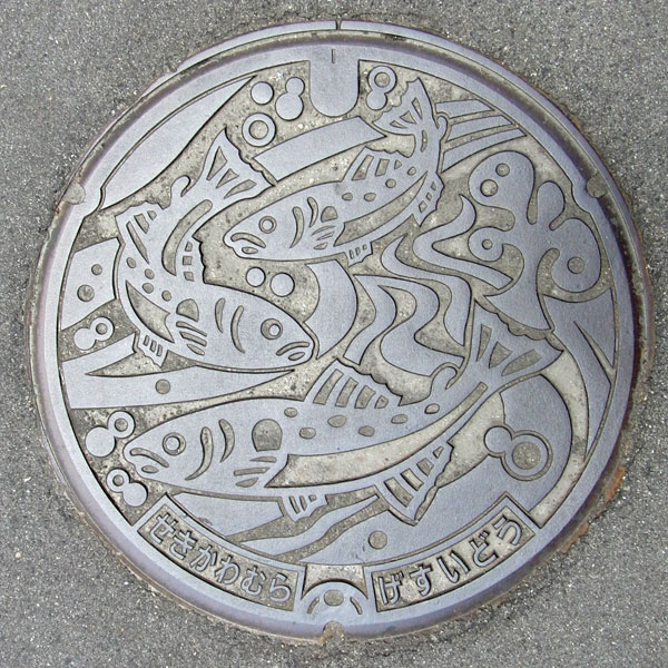
The design appears to be that of a Japanese char. It's a manhole cover for a designated environmental conservation public sewer.
Yahiko 弥彦村
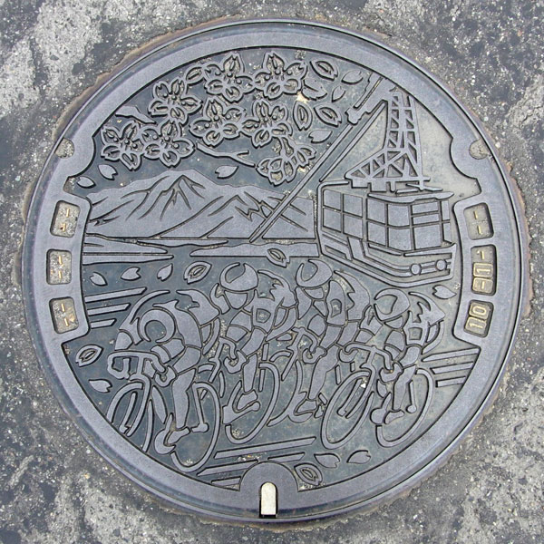
Yahiko Village has chosen to stand alone even during the Heisei era's major mergers. While Yahiko Shrine, Yahiko Onsen, and Mt. Yahiko are top-tier tourist destinations, their greatest strength may be their bicycle racing...
Kariwa 刈羽村
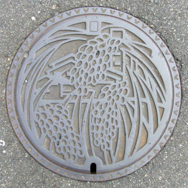
The image appears to depict rice stalks, but in the background, it's a country elevator.
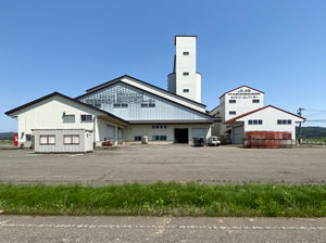
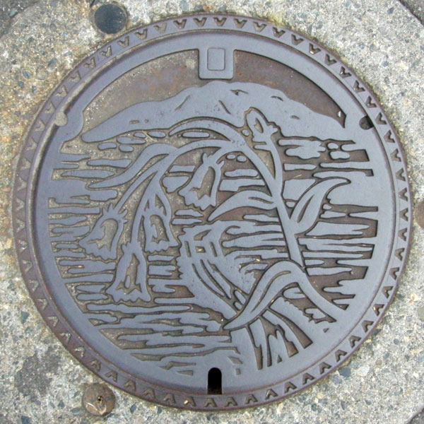
The plant in the foreground is a bellflower with the background being a rice mountain.
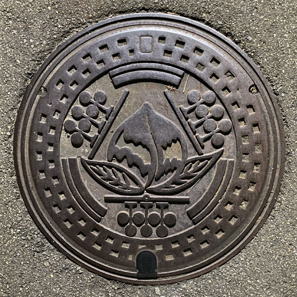
The manhole cover depicts the local specialty "Sand Dune Peach" which is known for its unique sweetness, and the village tree "Black Pine".