Soya 宗谷総合振興局
Soya 宗谷総合振興局
Wakkanai 稚内市
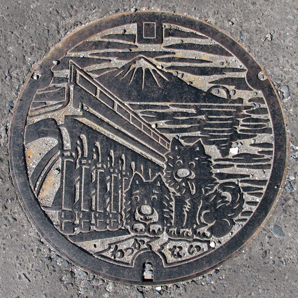
The design features the siblings of Taro and Jiro, the Sakhalin dogs that accompanied the early Antarctic Research Expedition, and the North Breakwater Dome, the symbol of Wakkanai Port, against the backdrop of Rishiri Fuji.
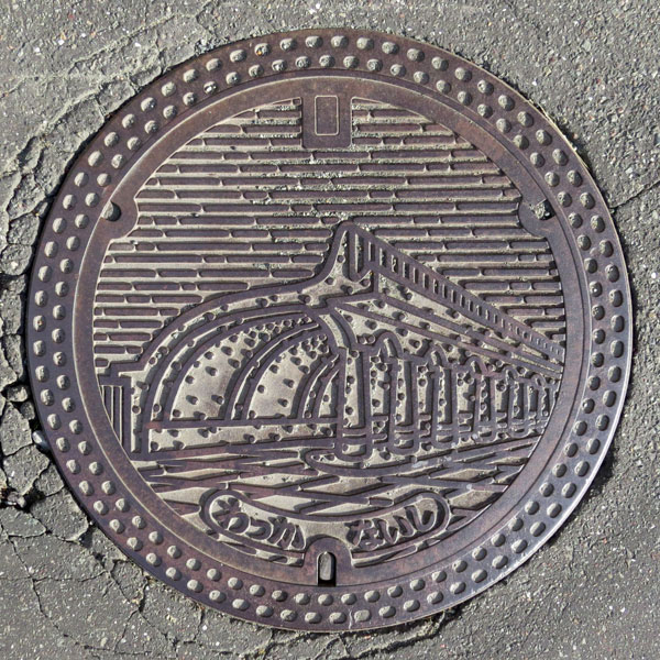
The North Breakwater Dome is the symbol of Wakkanai Port.
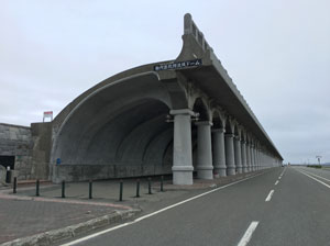
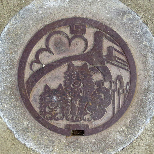
The North Breakwater Dome and Taro and Jiro's sewage manhole. Below are Taro and Jiro straps for sale at the Wakkanai Park gift shop
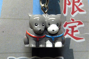
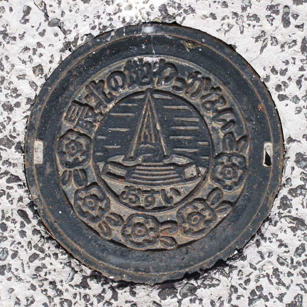
A monument marking the northernmost point of Japan and a small plate of the city's flower, the Japanese rose. The words "Northernmost Point Wakkanai" (Wakkanai) are written at the top.
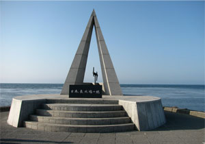
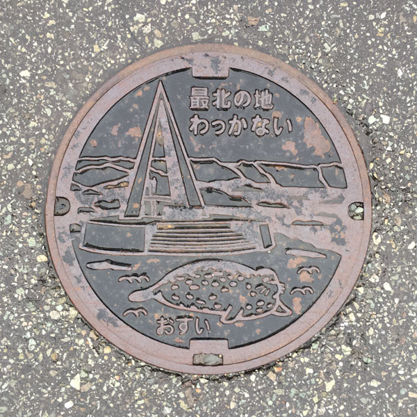
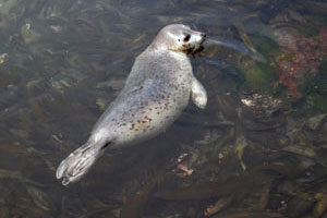
A small board depicting a monument marking the northernmost point of Japan and a spotted seal. The words "Northernmost point/Wakkanai" and "Osui" are also written.
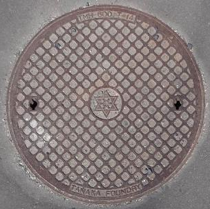
City emblem in the center.
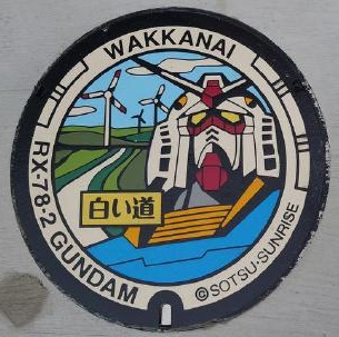
This was installed as part of the Bandai Namco Group’s "Gundam Manhole Project." It features the "White Road" (a path in the Wakkanai Hills covered in white seashells), wind turbines, and Gundam.
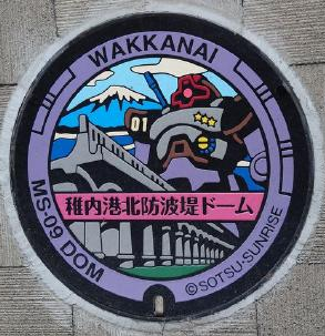
This was installed as part of the Bandai Namco Group’s "Gundam Manhole Project." It features the Wakkanai Port North Breakwater Dome and a "Dom" (mobile suit). Labeled with the number "01."
Rebun 礼文町
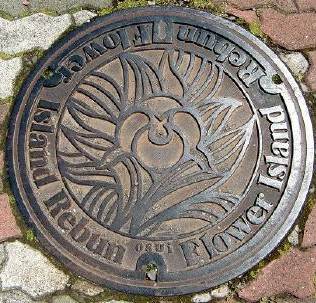
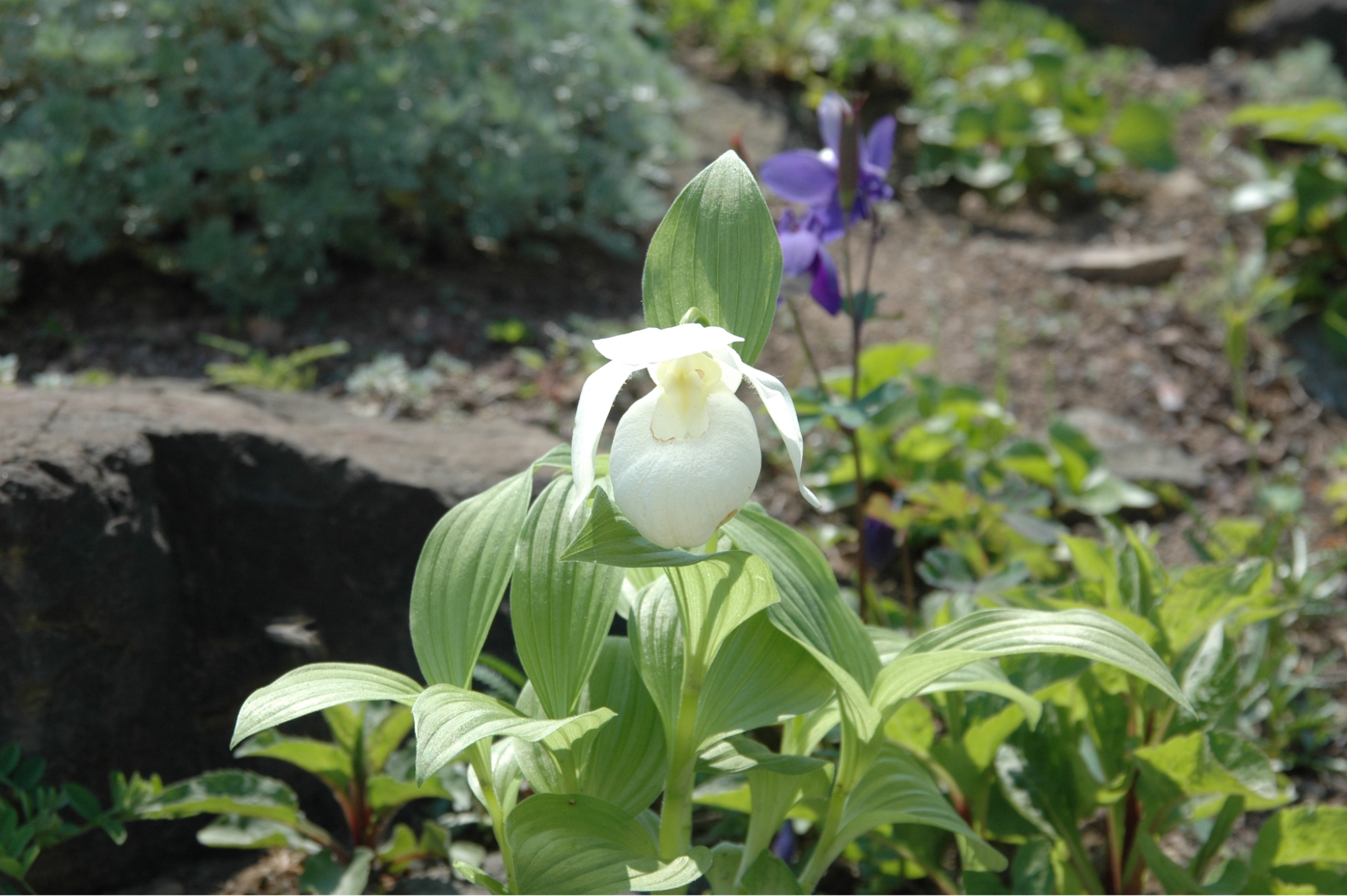
Features a design of the Cypripedium macranthos var. rebunense (Rebun lady's-slipper orchid), which can only be found on Rebun Island. The text "Flower Island Rebun" and "osui" (sewage) are inscribed around it.
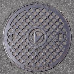
Town emblem in the center.
Rishiri 利尻町
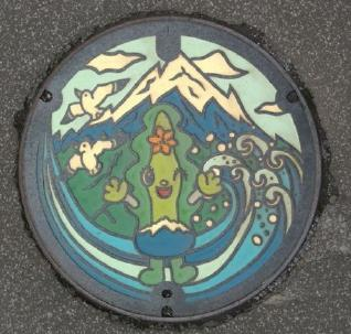
This manhole cover was created as part of the 120th-anniversary commemorative project for the founding of Rishiri Town. The design was selected from submissions by students at all the elementary and junior high schools within the town. Located on an island off the northwest coast of Hokkaido, Rishiri Town is home to Mount Rishiri (1,721m)—one of Japan’s 100 Famous Mountains—which rises in the center of the island. The town is blessed with a rich natural environment, where a wide variety of alpine plants bloom. The design captures the essence of Rishiri Town by highlighting Mount Rishiri—the island’s symbol—alongside elements of the local nature, such as seagulls and the crashing waves of the Sea of Japan, as well as the town’s mascot character, "Rishirin."
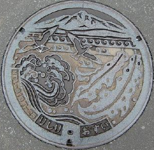
Features a design depicting Mount Rishiri (Rishiri Fuji), Rishiri kelp, and a seagull. Includes the text "Rishiri" and "osui" (sewage/wastewater).
Town emblem in the center.
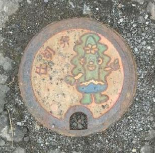
This is a 15cm-diameter color-coded gate valve featuring "Rishirin," the mascot character of Rishiri Town.
Rishirifuji 利尻富士町
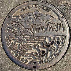
Features a design incorporating Mt. Rishiri-Fuji, the town’s trees (Ezo spruce and Japanese rowan), and the town’s flower (Rishiri poppy). The text "Bringing water back to life" appears at the top, while "Public" and "Sewerage" are inscribed at the bottom.
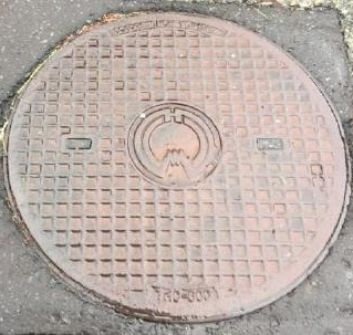
Town emblem in the center.
Toyotomi 豊富町
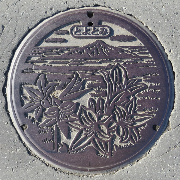
It depicts Mount Rishiri, daylilies, and Ezosukashi lilies.
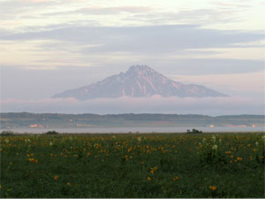
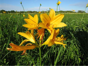
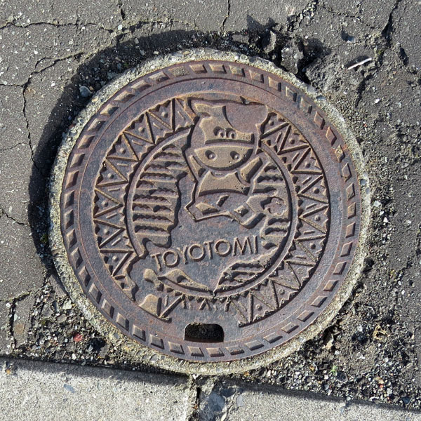
There were also sewage manholes of different designs. Toyotomi Town is a major dairy farming area, especially for raising dairy cows.
Hamatonbetsu 浜頓別町
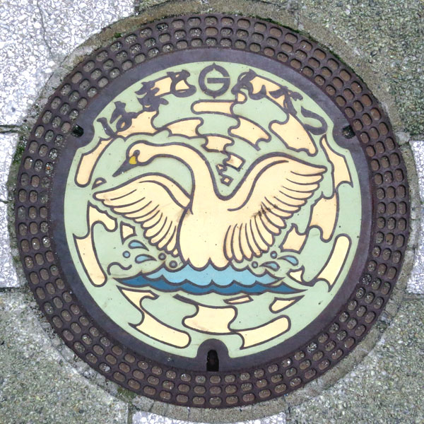
Hamatonbetsu is known for Lake Kutcharo, and this jar features a whooper swan flying there. The town emblem features the letter "Hama" between the letters "Hamato" and "Nbetsu."
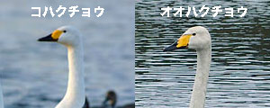
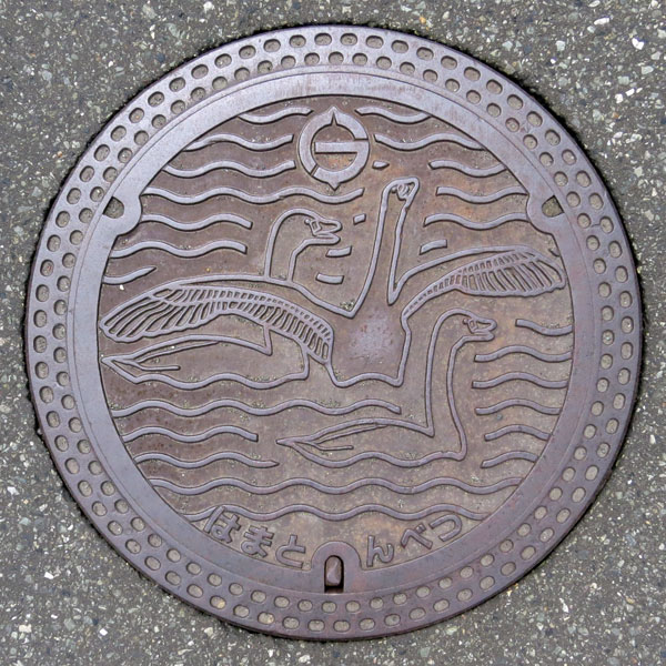
Another design of the whooper swan.
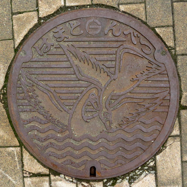
This is another design of a whooper swan.
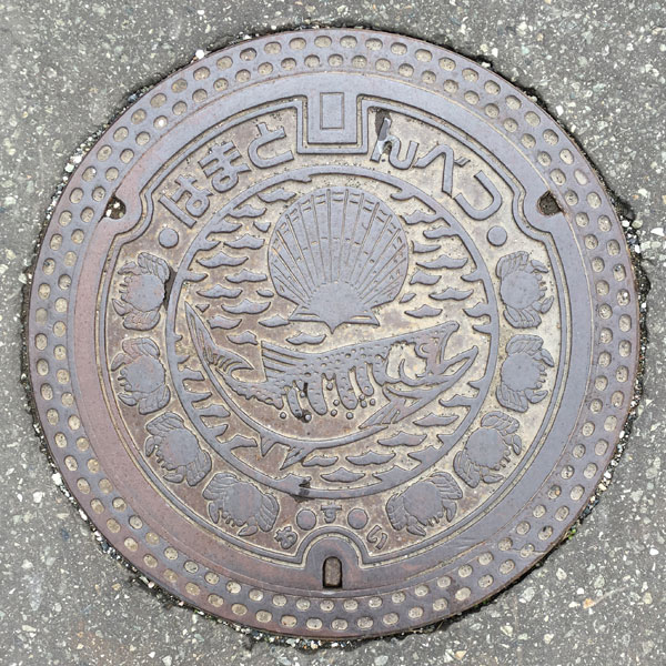
A manhole cover for sewage depicting the local specialties of scallops, salmon, and hairy crab. The words "Hamatombetsu" are written on the top and "O●su●i" are written on the bottom.
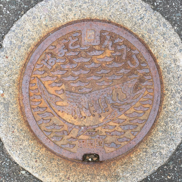
A sewage manhole with the same salmon design as above.
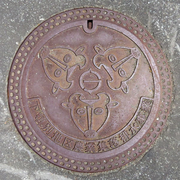
Cows, cows, more cows. A drainage cover for an agricultural village in Shimotombetsu district.
Horonobe 幌延町
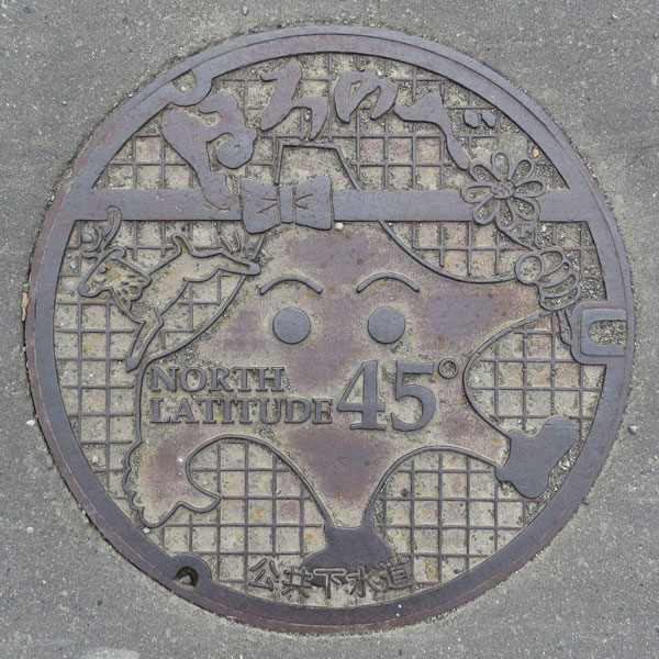
A ribbon crossing the head of a humanoid figure of Hokkaido (with the Oshima and Shiretoko peninsulas as the arms, and Cape Erimo and Cape Nosampu as the shoeed feet) represents the 45th parallel, and the knot marks the location of Horonobe Town. The words "Horonobe" are written at the top, "NORTH LATITUDE 45°" in the center, and "Public Sewerage" at the bottom.
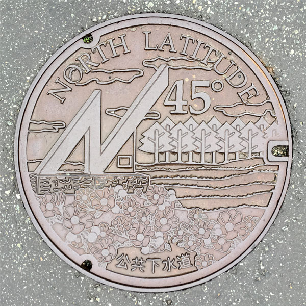
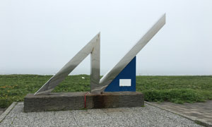
The design depicts the town's tree, the red spruce, the beach-decorating rose bushes, and the "45th Degree North Latitude Crossing Monument." The words "NORTH LATITUDE 45°" are written at the top and "Public Sewerage" at the bottom.
Nakatonbetsu 中頓別町
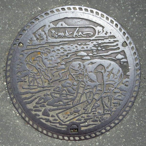
Apparently gold dust used to be mined in the Pechan River, and now you can try panning for gold.
Esashi 枝幸町
Esashi 枝幸町
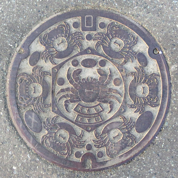
It depicts hairy crab, Japan's number one caught crab.
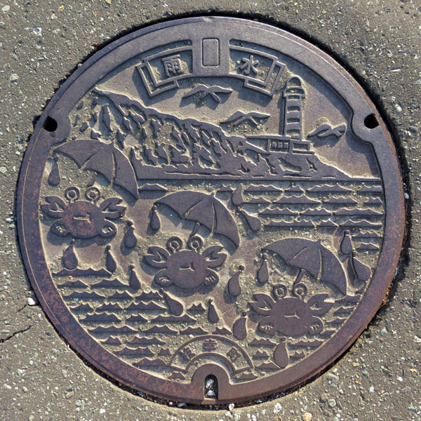
Cape Kamui and a hairy crab. Perhaps it's carrying an umbrella to protect itself from the rain.
Utanobori 歌登町
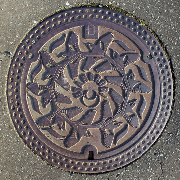
This painting depicts the town's bird, the wagtail. While the exact species is unclear, the painting captures the distinctive features of wagtails and is quite realistic.
Sarafutsu 猿払村
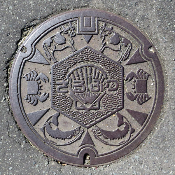
In the central hexagon are the local specialty scallops and the characters "Sarufutsu" (sarufutsu) against a background of Seigaiha waves. Surrounding them, from top to bottom, are drawn in symmetrical line drawings of dairy cows, crabs and salmon.